


Die Tour beginnt und endet in Werder.
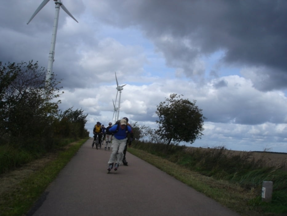
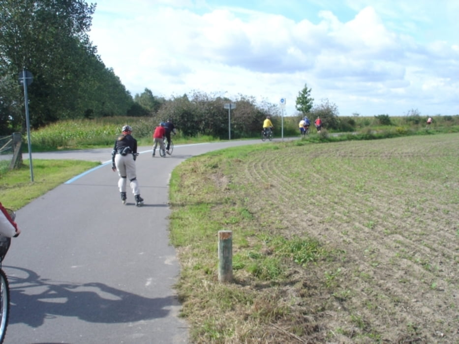
Eine bunte Truppe Skater und Radler fand sich, um gemeinsam einen Teil des Fläming-Skate zu befahren.
Ein Danke geht an Heiko, den Phoenix, für die Auswahl der Strecke, und an Evy, die Wettergöttin, für die Auswahl der Pausenlokalitäten.
Die Belag der Strecke ist sehr glatt, für Skater bestens geeignet, es gibt nur wenige Anstiege. Diese waren aber bei Gegenwind eine Herausforderung. Man hat oft einen weiten Blick über die leicht wellige Landschaft, durchquert verschlafene Dörfer und dichte Wälder.
Die erste Trinkpause hatten wir am Dorfkrug in Bochow. Der freundliche Wirt weihte uns auch gleich in die kulturellen und historischen Geheimnisse ein. Das Mittagmahl nahmen wir in Hohenseefeld ein (Apels Alte Mühle - freundliche Bedienung, leckeres Essen, angenehmes Ambiente).
Unsere Durchschnittsgeschwindigkeit war nicht sehr hoch, da ich und ein Sportfreund einen erschöpften Skater ziehen mussten/wollten - alter Spruch: Die Gruppe startet gemeinsam und kommt gemeinsam an.
Tour gallery
Tour map and elevation profile
Minimum height 64 m
Maximum height 125 m
More about the tour author

|
U-Schmidt |
Comments

GPS tracks
Trackpoints-
GPX / Garmin Map Source (gpx) download
-
TCX / Garmin Training Center® (tcx) download
-
CRS / Garmin Training Center® (crs) download
-
Google Earth (kml) download
-
G7ToWin (g7t) download
-
TTQV (trk) download
-
Overlay (ovl) download
-
Fugawi (txt) download
-
Kompass (DAV) Track (tk) download
-
Track data sheet (pdf) download
-
Original file of the author (gpx) download
More about the tour author
|
|
U-Schmidt |
Add to my favorites
Remove from my favorites
Edit tags
Open track
My score
Rate