


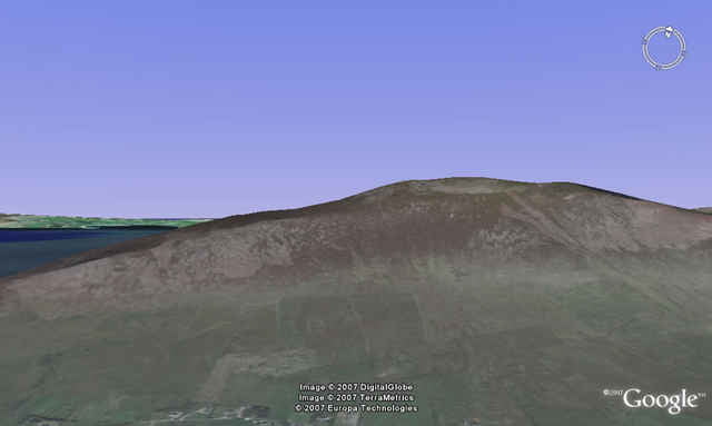
Wanderung auf dem relativ selten begangenen Pilgerweg zum „Knocknadobar“. Im Vergleich zum „Croagh Patrick“ geht es hier doch sehr ruhig zu. Der Weg führt entlang an 14 Steinkreuzen, welche nicht immer direkt am Weg platziert sind. Der Aufstieg wird mit einem Blick von der benachbarten Halbinsel „Dingle“ bis zu den „Macgillycuddy Reeks“ belohnt. Der Rückweg erfolgt über dieselbe Route. Als Variante kann man auch an der Südseite des Knocknadobar absteigen.
Als Wanderkarte empfiehlt sich die Ordance Survey Discovery Series 83.
Als Wanderkarte empfiehlt sich die Ordance Survey Discovery Series 83.
Tour gallery
Tour map and elevation profile
Minimum height 22 m
Maximum height 656 m
More about the tour author
|
|
scovery2 |
Comments

N70 (Ring of Kerry)
In Cahersiveen nördlich über den Valencia River. Bei der nächsten Kreuzung nach rechts. Bei den 2 folgenden Kreuzungen jeweils links halten. An einen Marienaltar bestehen geringe Parkmöglichkeiten.
In Cahersiveen nördlich über den Valencia River. Bei der nächsten Kreuzung nach rechts. Bei den 2 folgenden Kreuzungen jeweils links halten. An einen Marienaltar bestehen geringe Parkmöglichkeiten.
GPS tracks
Trackpoints-
GPX / Garmin Map Source (gpx) download
-
TCX / Garmin Training Center® (tcx) download
-
CRS / Garmin Training Center® (crs) download
-
Google Earth (kml) download
-
G7ToWin (g7t) download
-
TTQV (trk) download
-
Overlay (ovl) download
-
Fugawi (txt) download
-
Kompass (DAV) Track (tk) download
-
Track data sheet (pdf) download
-
Original file of the author (gpx) download
More about the tour author
|
|
scovery2 |
Add to my favorites
Remove from my favorites
Edit tags
Open track
My score
Rate