


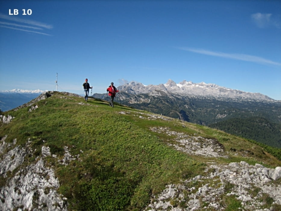
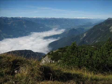
Die leichte Wanderung vom Berggasthof Steinerhaus zum Friedenskircherl mit darauffolgendem Aufstieg zum Gipfel des Stoderzinken bietet entlang der gesamten Tour grandiose Aussichten. Noch dazu sind die Höhenunterschiede relativ gering, sodass auch konditionell schwächere Wanderer diese Tour gehen können. Mit dem Berggasthof Steinerhaus, der Tritscherhütte und der Rosemi Alm gibt es auf dem Stoderzinken 3 wunderbare Gelegenheiten für eine schöne Rast. Die Anfahrt ist über die sehr gut ausgebaute und asphaltierte Stoderstraße von Gröbming aus sehr einfach.
weitere Infos, Fotos und Video findest du auf
biketours4you.at
Further information at
http://www.biketours4you.at/wandern_berge_huetten_alm_see_oed01747dcb54c6d0751bceca6c8fb7d57/steiermark_wandern_berge_huettenfcaf283657ce1d64de9f8cbd6840f1ad/stoderzinken_wandern_stoder_berg583fb8e92fc6d7b39aa814281e4eb8b6.phpTour gallery
Tour map and elevation profile
Minimum height 1732 m
Maximum height 2054 m
More about the tour author
|
|
Trek1400d |
Comments

Vom Ortszentrum in Gröbming erreichen Sie den Ausgangspunkt der Bergtour über die mautpflichtige Stoder-Panorama-Alpenstraße. Die asphaltierte Straße auf den Stoderzinken bis zum Berggasthof Steinerhaus ist, ca. 10km lang und hat Steigungen so um die 12%.
GPS tracks
Trackpoints-
GPX / Garmin Map Source (gpx) download
-
TCX / Garmin Training Center® (tcx) download
-
CRS / Garmin Training Center® (crs) download
-
Google Earth (kml) download
-
G7ToWin (g7t) download
-
TTQV (trk) download
-
Overlay (ovl) download
-
Fugawi (txt) download
-
Kompass (DAV) Track (tk) download
-
Track data sheet (pdf) download
-
Original file of the author (gpx) download
More about the tour author
|
|
Trek1400d |
Add to my favorites
Remove from my favorites
Edit tags
Open track
My score
Rate