


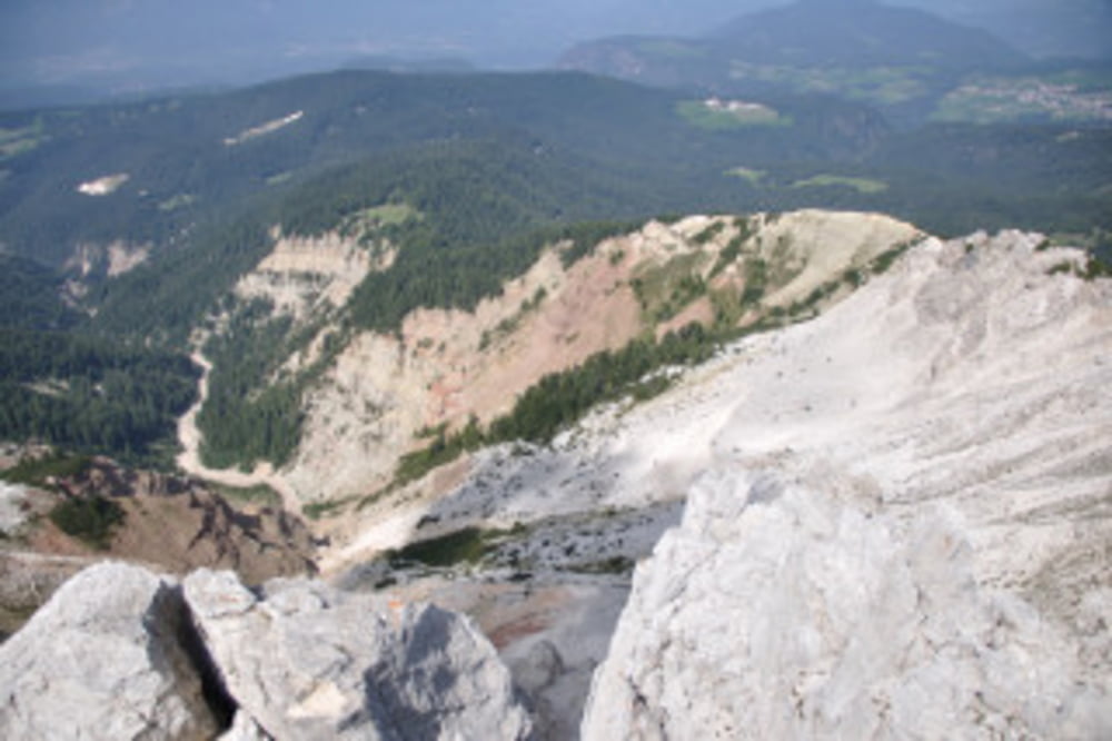
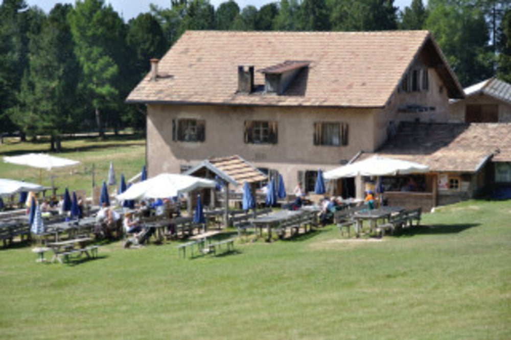
Ausgangpunkt ist der Schotterparkplatz kurz von Oberradein. Von dort zu erst dem Forstweg bis zur Abzweigung des Weges Nr. 7 folgen. Nach kurzer Zeit kommt man erneut auf den Forstweg und folgt diesem in gemächlichem Anstieg bis zur Gurndinalm. Einkehr erst nach erfolgreichem Gipfelaufstieg. Wenige hundert Meter nach der Alm geht es links ab in Richtung Weisshorn.Nach der Einkehr in die Gurndinalm geht es über den sog. Blauweg talabwärts.
Alles in allem eine nette Wanderung, die interessanter wäre, wenn man den Abstieg vom Weisshorn über die Lahnerwiese und die Kalkbrüche des Bletterbaches zurück nach Oberradein wandert.
Tour gallery
Tour map and elevation profile
Minimum height 1505 m
Maximum height 2311 m
More about the tour author

|
muellerruediger |
Comments

GPS tracks
Trackpoints-
GPX / Garmin Map Source (gpx) download
-
TCX / Garmin Training Center® (tcx) download
-
CRS / Garmin Training Center® (crs) download
-
Google Earth (kml) download
-
G7ToWin (g7t) download
-
TTQV (trk) download
-
Overlay (ovl) download
-
Fugawi (txt) download
-
Kompass (DAV) Track (tk) download
-
Track data sheet (pdf) download
-
Original file of the author (gpx) download
More about the tour author
|
|
muellerruediger |
Add to my favorites
Remove from my favorites
Edit tags
Open track
My score
Rate