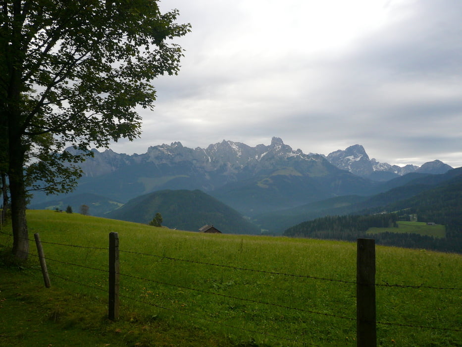
Eine recht gemütliche Wanderung über die weiten Almböden der Koreinalm und der drei Brandbergköpfe, die immer wieder wunderbare Panoramablicke auf den Dachstein, das Tennengebirge, den Hochkönig und die Hohen und Niederen Tauern bereithält, steht bevor.
Further information at
http://www.via-alpina.org/de/stage/35Tour gallery
Tour map and elevation profile
Minimum height 554 m
Maximum height 1735 m
Comments

GPS tracks
Trackpoints-
GPX / Garmin Map Source (gpx) download
-
TCX / Garmin Training Center® (tcx) download
-
CRS / Garmin Training Center® (crs) download
-
Google Earth (kml) download
-
G7ToWin (g7t) download
-
TTQV (trk) download
-
Overlay (ovl) download
-
Fugawi (txt) download
-
Kompass (DAV) Track (tk) download
-
Track data sheet (pdf) download
-
Original file of the author (gpx) download
Add to my favorites
Remove from my favorites
Edit tags
Open track
My score
Rate


