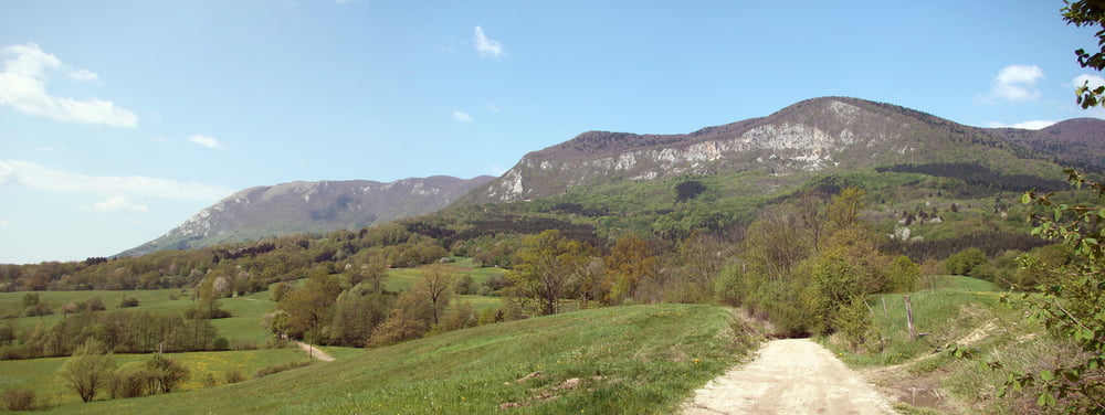
Iz Razdrtega proti Predjami se vozimo deloma po asfaltni in deloma po kolovozni cesti.Od Predjame naprej pa samo po makedamski cesti,na Suhi vrh je potrebno porinit.Spust pa poteka po širši planinski poti,polni kamenja.Nestrokovna ocena spusta je s4 mestoma s5,do vasice Strane.
Tour gallery
Tour map and elevation profile
Minimum height 482 m
Maximum height 1314 m
Comments

GPS tracks
Trackpoints-
GPX / Garmin Map Source (gpx) download
-
TCX / Garmin Training Center® (tcx) download
-
CRS / Garmin Training Center® (crs) download
-
Google Earth (kml) download
-
G7ToWin (g7t) download
-
TTQV (trk) download
-
Overlay (ovl) download
-
Fugawi (txt) download
-
Kompass (DAV) Track (tk) download
-
Track data sheet (pdf) download
-
Original file of the author (gpx) download
Add to my favorites
Remove from my favorites
Edit tags
Open track
My score
Rate


