


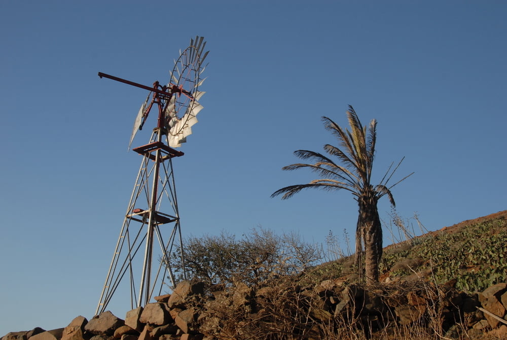
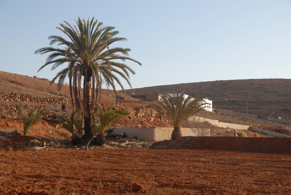
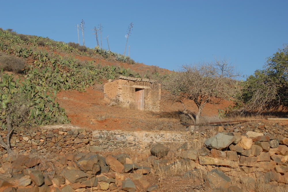
Von der Dorfkirche in Agua De Buyes folgt man der noch asphaltierten Strasse Richtung Berge in den Barranco. Dort beginnt die Piste, die dem wunderschönen Barranco Garabato folgt. Rechts und links alte landwirtschaftliche Nutzflächen.
Die Piste führt bis fast zum Ende des Tales. Dort versperrt ein kleiner Damm den weiteren Weg.
Zurück geht man den selben Weg.
Der Weg ist sehr schon am frühen Morgen, wenn die Sonne über die Berge steigt.
Während der Jagdsaison sind sonntags hier viele Jäger mit ihren Hunden unterwegs.
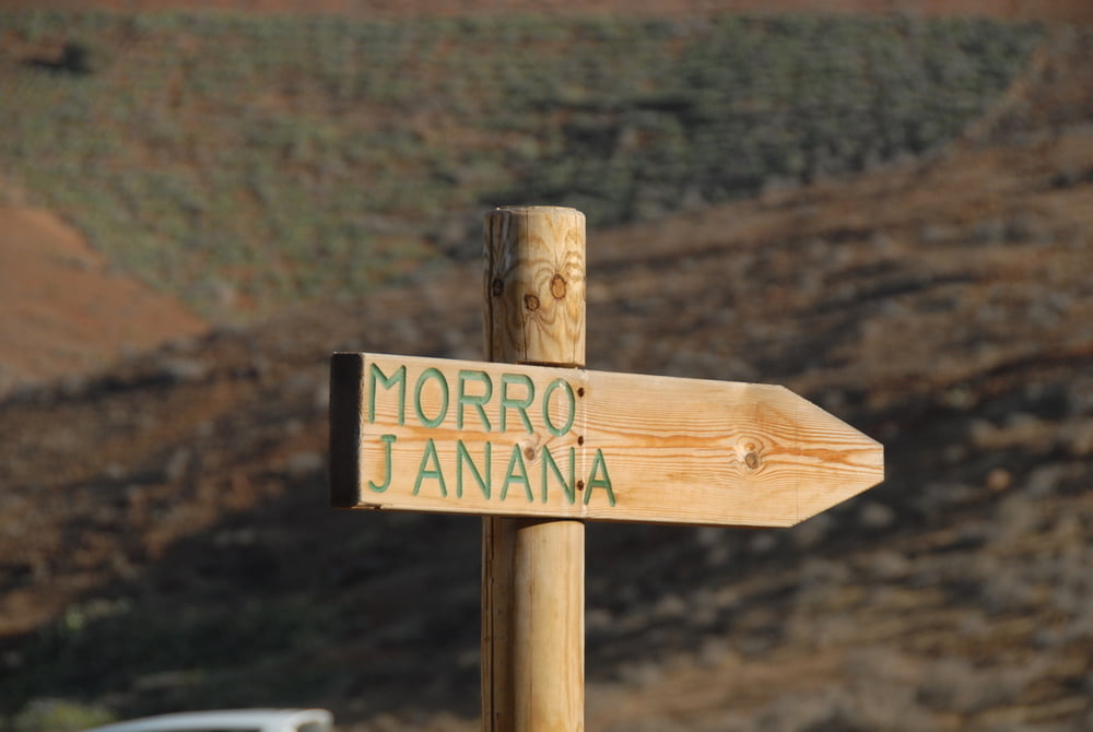
Auf dem Hinweg nach rechts gibt es ein Hinweisschild zum "Morro Janana". Das ist ein anderer, längerer Wanderweg, der über den Höhenzug führt und in Antigua endet.
Tour gallery
Tour map and elevation profile
Minimum height 300 m
Maximum height 429 m
More about the tour author
|
|
cirrus123 |
Comments

Der Ausgangspunkt Agua de Buyes liegt an der Hauptstrasse zwischen Antigua und Tuineje, nördlich von Tiscamanita.
GPS tracks
Trackpoints-
GPX / Garmin Map Source (gpx) download
-
TCX / Garmin Training Center® (tcx) download
-
CRS / Garmin Training Center® (crs) download
-
Google Earth (kml) download
-
G7ToWin (g7t) download
-
TTQV (trk) download
-
Overlay (ovl) download
-
Fugawi (txt) download
-
Kompass (DAV) Track (tk) download
-
Track data sheet (pdf) download
-
Original file of the author (gpx) download
More about the tour author
|
|
cirrus123 |
Add to my favorites
Remove from my favorites
Edit tags
Open track
My score
Rate