

Schöne Tour von Übach über Herzogenrath und Würselen durch das Wurmtal.Leider ist auf dieser Tour viel Strasse und Fußgänger/ältere Paare mit Citybikes sind keine Seltenheit,aber acuh die Fahrten im Wurmtal durch Schlamm und Kies machen Spass.Also wer schnell dreckig werden will,der sollte nach dem Regen dort hinfahren.
Tour gallery
Tour map and elevation profile
Minimum height 144 m
Maximum height 234 m
More about the tour author

|
elpatte |
Comments

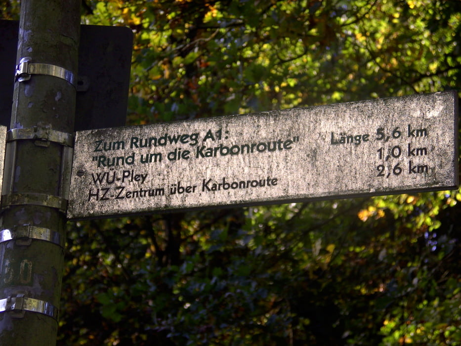
Am besten man beginnt am Rimburger Wald,errichbar von Übach-Palenberg aus in Richtung Merkstein/Herzogenrath.Wer nicht aus Übach kommt,aus dem Norden über die Merksteiner Strasse anreisen.
GPS tracks
Trackpoints-
GPX / Garmin Map Source (gpx) download
-
TCX / Garmin Training Center® (tcx) download
-
CRS / Garmin Training Center® (crs) download
-
Google Earth (kml) download
-
G7ToWin (g7t) download
-
TTQV (trk) download
-
Overlay (ovl) download
-
Fugawi (txt) download
-
Kompass (DAV) Track (tk) download
-
Track data sheet (pdf) download
-
Original file of the author (gpx) download
More about the tour author
|
|
elpatte |
Add to my favorites
Remove from my favorites
Edit tags
Open track
My score
Rate