

Startpunkt: Parkplatz ca. 500 m nach der Pötschenkehre.
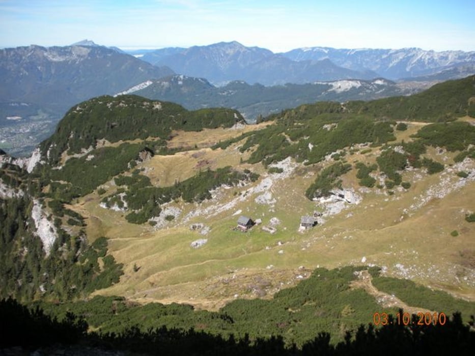
Durch Mischwald sehr steil hinauf auf die private Sarsteinalm (1.711 m).
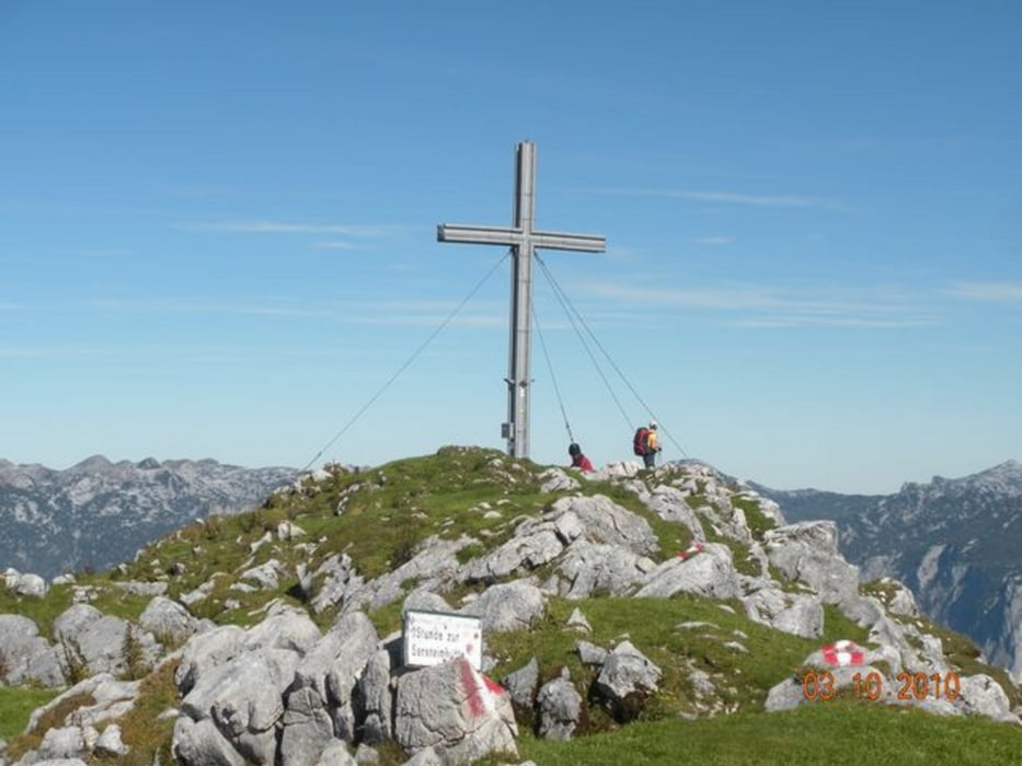
Weiter sehr steil zuerst auf felsigen Wegen, dann auf Almböden weiter zum Gipfel. Retour am gleichen Weg.
Further information at
http://www.crossingways.com/Tour/Hoher_Sarstein_1975_m_14099.deTour gallery


Tour map and elevation profile
Minimum height 720 m
Maximum height 1965 m
More about the tour author
|
|
Fritzl71 |
Comments

A1 - Abfahrt Regau nach Gmunden, weiter über Bad Ischl nach Bad Goisern. Pötschenpaß Richtung Liezen/Graz. Parkplatz 500 m nach der Pötschenkehre
GPS tracks
Trackpoints-
GPX / Garmin Map Source (gpx) download
-
TCX / Garmin Training Center® (tcx) download
-
CRS / Garmin Training Center® (crs) download
-
Google Earth (kml) download
-
G7ToWin (g7t) download
-
TTQV (trk) download
-
Overlay (ovl) download
-
Fugawi (txt) download
-
Kompass (DAV) Track (tk) download
-
Track data sheet (pdf) download
-
Original file of the author (gpx) download
More about the tour author
|
|
Fritzl71 |
Add to my favorites
Remove from my favorites
Edit tags
Open track
My score
Rate