Login

Forgotten password?

Cookies have to be accepted!
Your browser's cookie functionality is disabled. Please enable this functionality.

Not a member yet?

Register now
Login

Available for registred users only

Log in to use this feature.

Forgotten password?

Cookies have to be accepted!
Your browser's cookie functionality is disabled. Please enable this functionality.

Not a member yet?

Register now
Filter
Categories
Advanced filters
  • Distance (km)
  • Height
Save filters Reset filter

TrackRank

QRCode

Technical data

Distance15,0 km Height856 m Way down777 m Duration06:00 h:m Date04.10.2010
Scores Author User Landscape Fun factor Fitness Technique

Statistics

2887 Views 1 Score 165 Downloads 4.00 Average
Rate
  • Track data sheet
  • Directions
  • Downloads

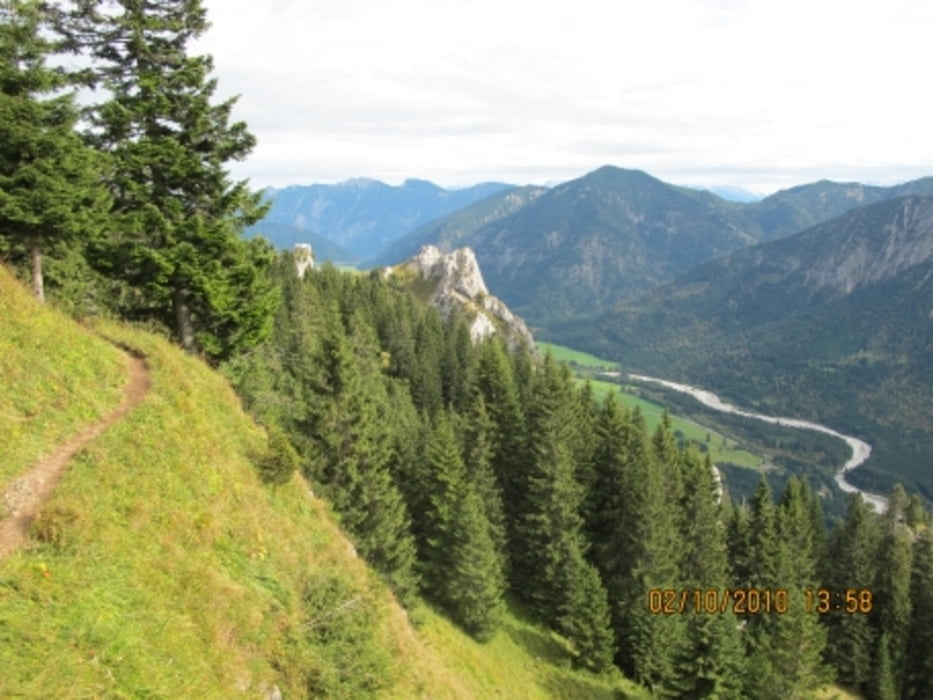
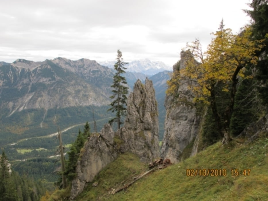
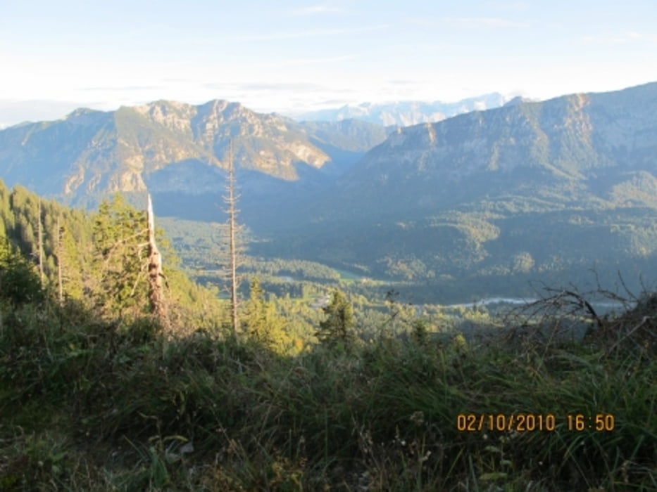
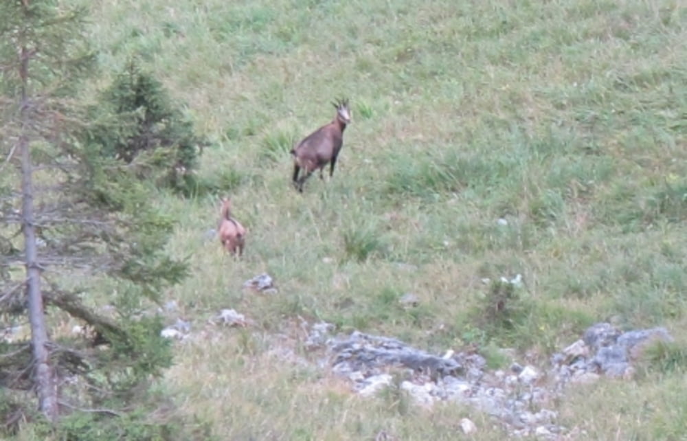
Linderhof - Pürschling - Höhenweg - Linderhof. Rundtour auf  Pfaden mit Abstieg über Forstweg. Trittsicherheit und Kondition empfohlen. Tolle Aussichten vom Höhenweg!

Tour gallery

Tour map and elevation profile

  • Open Street Map
  • Google
Minimum height 896 m Maximum height 1628 m Detailed view

More about the tour author

ellell
Member since 2010

Send private message

Comments

Schloss Linderhof

GPS tracks

Trackpoints
  • GPX / Garmin Map Source (gpx) download
  • TCX / Garmin Training Center® (tcx) download
  • CRS / Garmin Training Center® (crs) download
  • Google Earth (kml) download
  • G7ToWin (g7t) download
  • TTQV (trk) download
  • Overlay (ovl) download
  • Fugawi (txt) download
  • Kompass (DAV) Track (tk) download
  • Track data sheet (pdf) download
  • Original file of the author (gpx) download

More about the tour author

ellell
Member since 2010

Send private message
Share track
Add to my favorites
Remove from my favorites
Edit tags
My score
Rate
Track: Linderhof - Pürschling
Type: Hiking
Distance: 15,0 km
Evaluated on:
Duration:
Day(s)
Hour(s)
Minute(s)
Score: Landscape Fun factor Fitness Technique