Login

Forgotten password?

Cookies have to be accepted!
Your browser's cookie functionality is disabled. Please enable this functionality.

Not a member yet?

Register now
Login

Available for registred users only

Log in to use this feature.

Forgotten password?

Cookies have to be accepted!
Your browser's cookie functionality is disabled. Please enable this functionality.

Not a member yet?

Register now
Filter
Categories
Advanced filters
  • Distance (km)
  • Height
Save filters Reset filter

TrackRank

QRCode

Technical data

Distance29,5 km Height742 m Way down726 m Duration2 days 0 h Date06.10.2010
Scores Author User Landscape Fun factor Fitness Technique

Statistics

277 Views 1 Score 21 Downloads 5.00 Average
Rate
  • Track data sheet
  • Directions
  • Downloads

                           ++++++++ Gruenes Band +++++++++

                   ++++++++ Zwischen Deutschland +++++++++

                                               - Rundweg -

Startpunkt/start: Ifta

Kurzbeschreibung/description:

D: Der Track ist vergleichsweise einfach - keine schwierigen Steigungen, kein Klettern, schöne und safte Natur. Teilweise auf der deutsch-deutschen Grenze "Doppelbetonplattenweg".
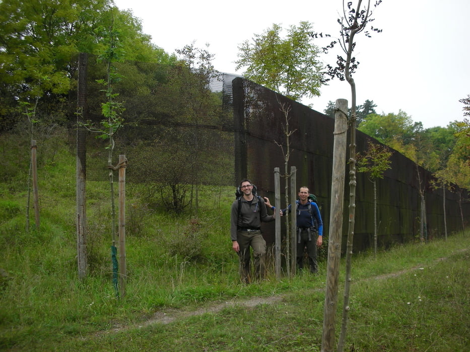
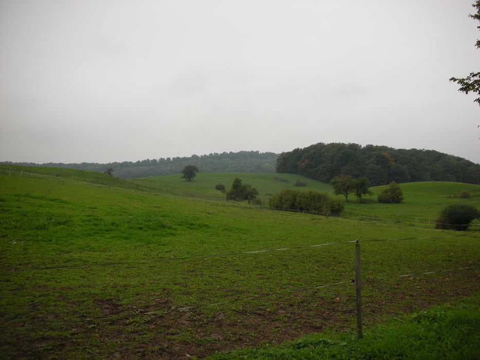
 

Tour gallery

Tour map and elevation profile

  • Open Street Map
  • Google
Minimum height 220 m Maximum height 502 m Detailed view

More about the tour author

1980rockt
Member since 2010

Send private message

Comments

GPS tracks

Trackpoints
  • GPX / Garmin Map Source (gpx) download
  • TCX / Garmin Training Center® (tcx) download
  • CRS / Garmin Training Center® (crs) download
  • Google Earth (kml) download
  • G7ToWin (g7t) download
  • TTQV (trk) download
  • Overlay (ovl) download
  • Fugawi (txt) download
  • Kompass (DAV) Track (tk) download
  • Track data sheet (pdf) download
  • Original file of the author (gpx) download

More about the tour author

1980rockt
Member since 2010

Send private message
Share track
Add to my favorites
Remove from my favorites
Edit tags
My score
Rate
Track: Gruenes Band
Type: Hiking
Distance: 29,5 km
Evaluated on:
Duration:
Day(s)
Hour(s)
Minute(s)
Score: Landscape Fun factor Fitness Technique