Login

Forgotten password?

Cookies have to be accepted!
Your browser's cookie functionality is disabled. Please enable this functionality.

Not a member yet?

Register now
Login

Available for registred users only

Log in to use this feature.

Forgotten password?

Cookies have to be accepted!
Your browser's cookie functionality is disabled. Please enable this functionality.

Not a member yet?

Register now
Filter
Categories
Advanced filters
  • Distance (km)
  • Height
Save filters Reset filter

TrackRank

QRCode

Technical data

Distance68,3 km Height652 m Way down567 m Duration05:05 h:m Date07.10.2010
Scores Author User Landscape Fun factor Fitness Technique

Statistics

467 Views 1 Score 49 Downloads 3.00 Average
Rate
  • Track data sheet
  • Directions
  • Downloads

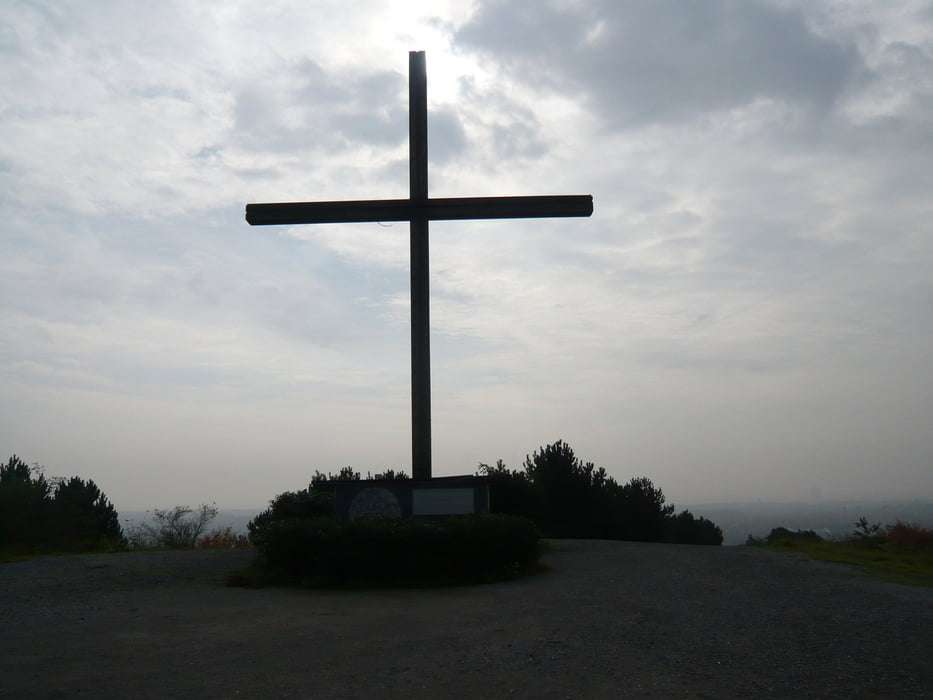
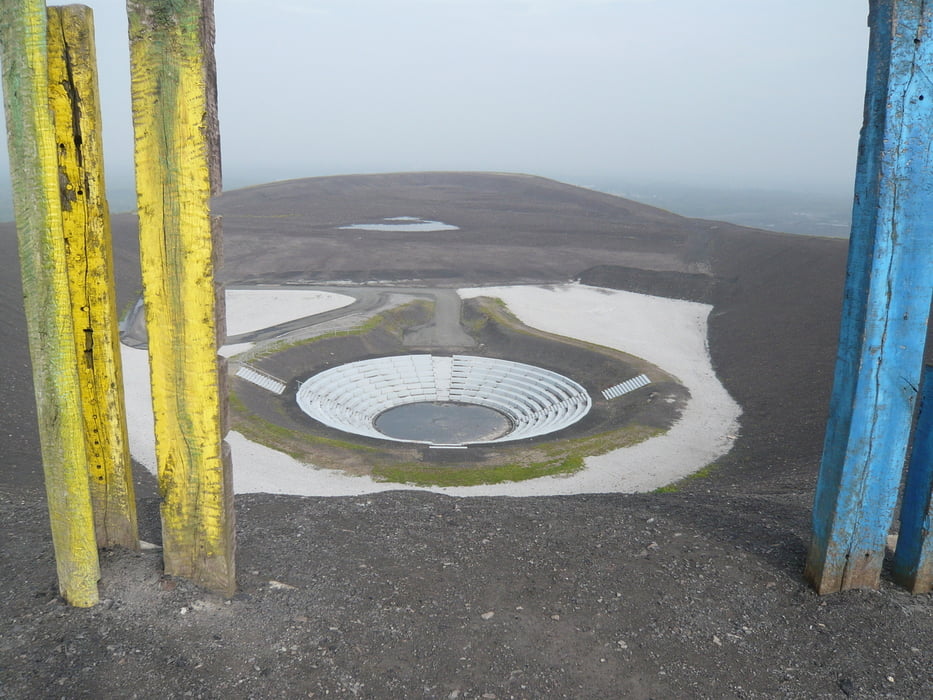
Tour wie Hausrunde nur um Halde Haniel erweitert.

Ergänzung am 03.06.2012:

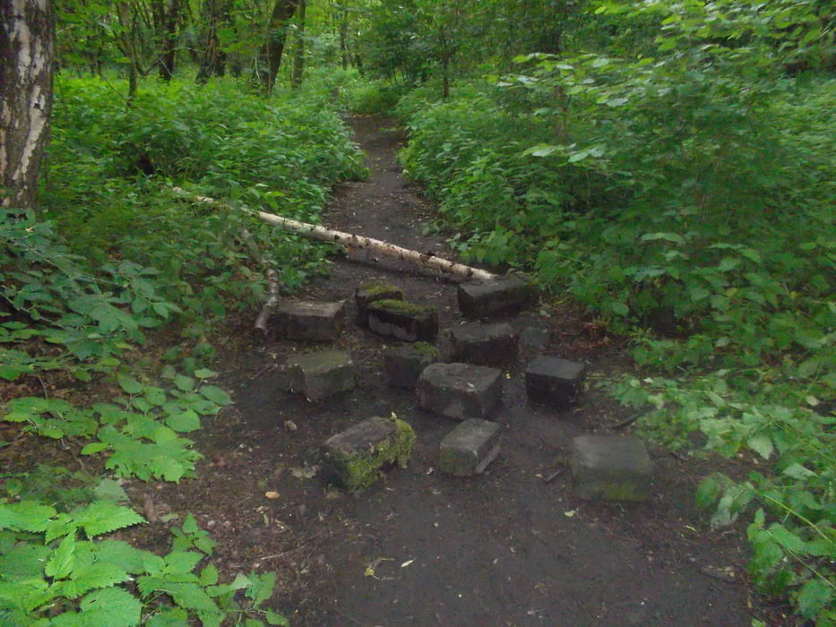
VORSICHT, auf einem Teilstück der Route wird, warscheinlich von Fußgängern, der Weg immer wieder mit dicken Steinen und umgefallenen Bäumen blockiert. Das ganze geschieht so hinterhältig, daß diese Blockierungen erst im letzten Moment zu sehen sind (Sihe Bild 4). Das Teilstück der Route befindet sich an der Halde beim Busfortshof.

Tour gallery

Tour map and elevation profile

  • Open Street Map
  • Google
Minimum height -50 m Maximum height 181 m Detailed view

More about the tour author

kounz1968
Member since 2010

Send private message

Comments

buggi on 15.08.2011

Schöne Runde

Schöne Runde mit den Halden. Ne Runde um mal etwas Grundlage zu fahren. Danke!

GPS tracks

Trackpoints
  • GPX / Garmin Map Source (gpx) download
  • TCX / Garmin Training Center® (tcx) download
  • CRS / Garmin Training Center® (crs) download
  • Google Earth (kml) download
  • G7ToWin (g7t) download
  • TTQV (trk) download
  • Overlay (ovl) download
  • Fugawi (txt) download
  • Kompass (DAV) Track (tk) download
  • Track data sheet (pdf) download
  • Original file of the author (gpx) download

More about the tour author

kounz1968
Member since 2010

Send private message
Share track
Add to my favorites
Remove from my favorites
Edit tags
My score
Rate
Track: Haldenrunde
Type: Mountain bike
Distance: 68,3 km
Evaluated on:
Duration:
Day(s)
Hour(s)
Minute(s)
Score: Landscape Fun factor Fitness Technique