


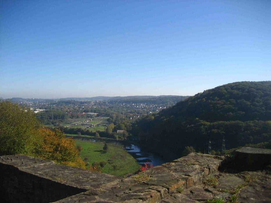
Die sehr schöne Tour führt aus dem Ruhrtal hinauf zur Ruine Isenburg. Dann über schöne Pfade auf dem "Berg"kamm enttlang nach Nierenhof.
Nun wieder den Berg hinauf auf den nächsten Kamm und über schöne Pfade zurück zum Ausgangspunkt Wanderparkplat Isenburg.
Ein Teil der Strecke führt entlang des Ruhrhöhenweges.
Tour gallery


Tour map and elevation profile
Minimum height 51 m
Maximum height 198 m
More about the tour author
|
|
msdetroit |
Comments

Wanderparkplat Isenburg an der Ruhr zwischen Hattingen Niederwenigern und Essen Burgaltendorf.
N 51°23.372 - O 7°09.200
GPS tracks
Trackpoints-
GPX / Garmin Map Source (gpx) download
-
TCX / Garmin Training Center® (tcx) download
-
CRS / Garmin Training Center® (crs) download
-
Google Earth (kml) download
-
G7ToWin (g7t) download
-
TTQV (trk) download
-
Overlay (ovl) download
-
Fugawi (txt) download
-
Kompass (DAV) Track (tk) download
-
Track data sheet (pdf) download
-
Original file of the author (gpx) download
More about the tour author
|
|
msdetroit |
Add to my favorites
Remove from my favorites
Edit tags
Open track
My score
Rate