


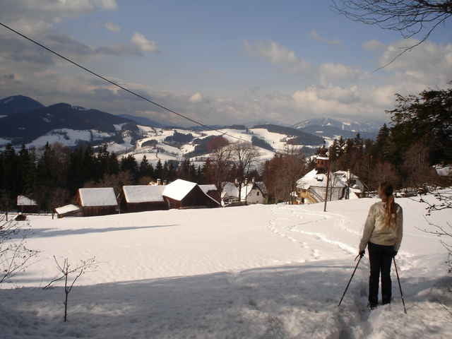
Schöner Rundweg mit herrlicher Aussicht. Im Frühling, Sommer und Herbst wohl eher als ausgiebiger Spazierweg geeignet, bzw. wegen der geringen Steigung als Nordic Walking Strecke. Im Winter bei Schnee durchaus "anspruchsvoll". Zumindest ist der Spaßfaktor recht hoch durch verschneite Wiesen zu laufen - wobei eine entsprechende Ausrüstung durchaus empfehlenswert ist; wenn einen Wasser in den Schuhen nicht stört, dann gehts auch ohne!
Further information at
http://www.semriach.at/Tour gallery
Tour map and elevation profile
Minimum height 692 m
Maximum height 1081 m
More about the tour author

|
Comments

In Semriach (nördlich von Graz) am Marktplatz parken.
GPS tracks
Trackpoints-
GPX / Garmin Map Source (gpx) download
-
TCX / Garmin Training Center® (tcx) download
-
CRS / Garmin Training Center® (crs) download
-
Google Earth (kml) download
-
G7ToWin (g7t) download
-
TTQV (trk) download
-
Overlay (ovl) download
-
Fugawi (txt) download
-
Kompass (DAV) Track (tk) download
-
Track data sheet (pdf) download
-
Original file of the author (gpx) download
More about the tour author
|
|
Add to my favorites
Remove from my favorites
Edit tags
Open track
My score
Rate