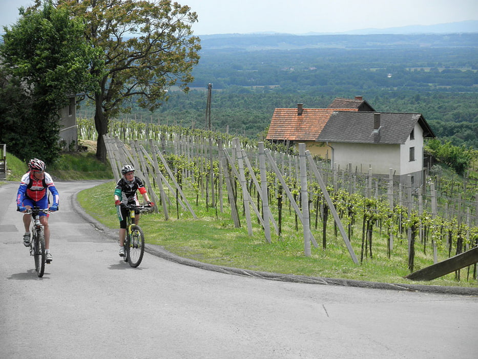
Von Altdörfl gehts zuerst länger flach dahin durch den Rotlehmbodenwald, bevor die sehr bergige Umgebung von Klöch erkundet wird. Rund um den Königsberg, dann wieder über Süßegg, Zaraberg und Klöchberg zurück nach Bad Radkersburg, weiter noch bis Sicheldorf und an der Mur wieder zurück nach Altdörfl.
Tour gallery
Tour map and elevation profile
Minimum height 204 m
Maximum height 428 m
Comments

Startpunkt ist der Altneudörflerhof in Altdörfl
GPS tracks
Trackpoints-
GPX / Garmin Map Source (gpx) download
-
TCX / Garmin Training Center® (tcx) download
-
CRS / Garmin Training Center® (crs) download
-
Google Earth (kml) download
-
G7ToWin (g7t) download
-
TTQV (trk) download
-
Overlay (ovl) download
-
Fugawi (txt) download
-
Kompass (DAV) Track (tk) download
-
Track data sheet (pdf) download
-
Original file of the author (gpx) download
Add to my favorites
Remove from my favorites
Edit tags
Open track
My score
Rate


