

Eine schöne Tour aus unserer Tageszeitung.
Typische Vennpfade mit schmalen Holzstegen, aber auch (leider) geteerte Wege durch Fichtenwald.
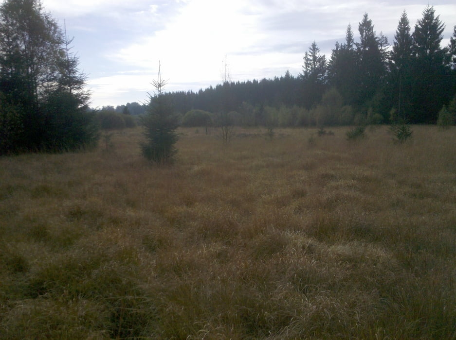
Schöne Vennblicke
nicht Kinderwagen tauglich
Für Vierbeiner gilt Leinenpflicht.
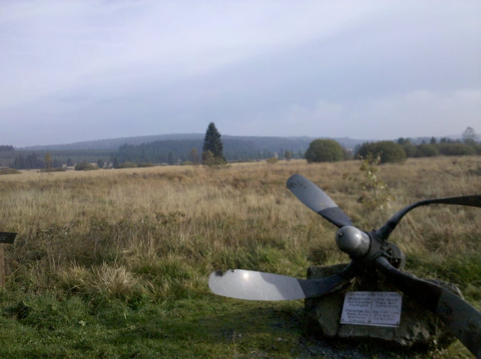
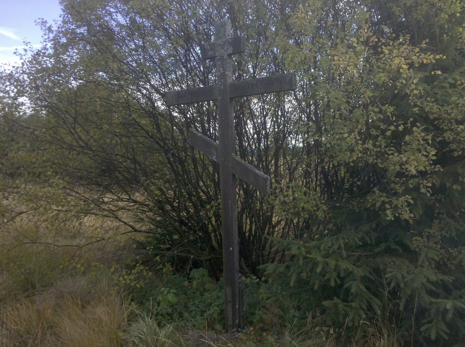
Die Route auf einen Blick: Bahhof Sourbrodt - Kleine Rur - Russenkreuz - Venn von Nesselo - Rurbusch - Rurvenn - Große Rur - Bahnhof Sourbrodt.
Tour gallery
Tour map and elevation profile
Minimum height 593 m
Maximum height 684 m
More about the tour author

|
neue321 |
Comments

Von Aachen über Eupen, Botranges, Mont Rigi nach Sourbrodt. Am alten Bahnhof
GPS tracks
Trackpoints-
GPX / Garmin Map Source (gpx) download
-
TCX / Garmin Training Center® (tcx) download
-
CRS / Garmin Training Center® (crs) download
-
Google Earth (kml) download
-
G7ToWin (g7t) download
-
TTQV (trk) download
-
Overlay (ovl) download
-
Fugawi (txt) download
-
Kompass (DAV) Track (tk) download
-
Track data sheet (pdf) download
-
Original file of the author (gpx) download
More about the tour author
|
|
neue321 |
Add to my favorites
Remove from my favorites
Edit tags
Open track
My score
Rate