


Start ist der Bahnhof in Lorch.
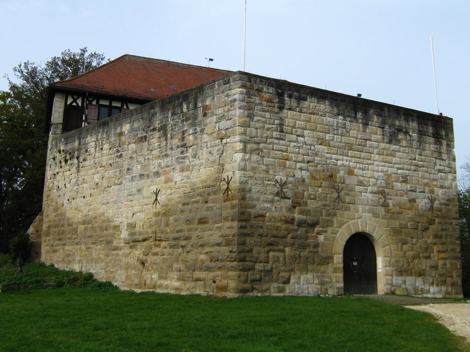
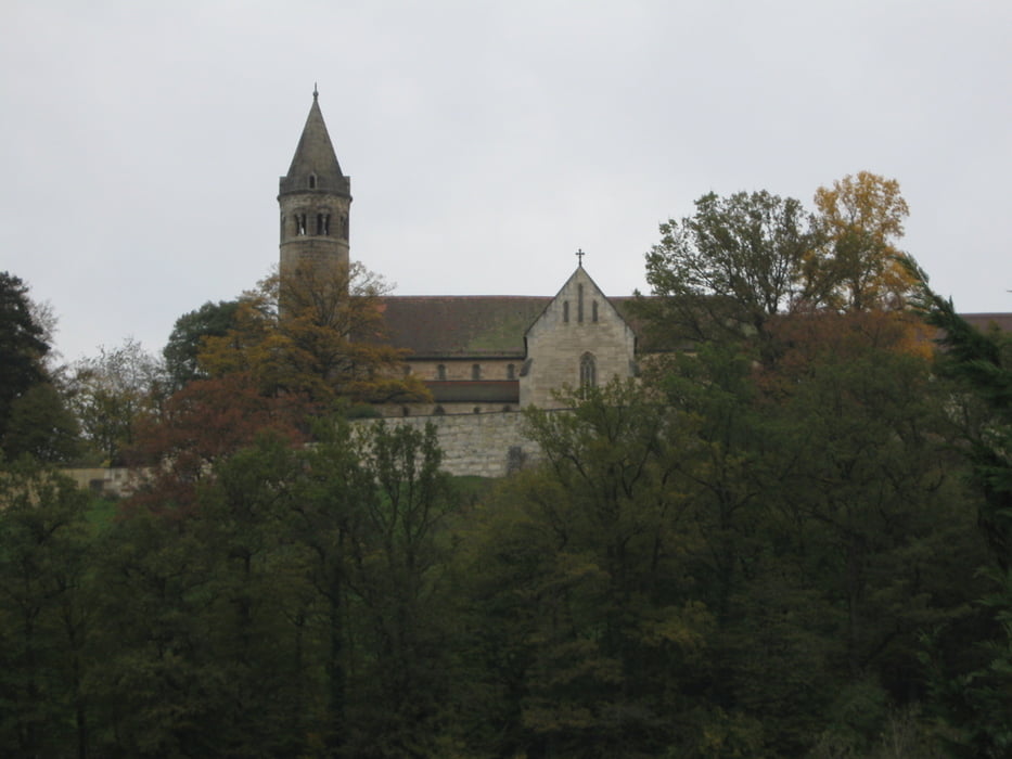
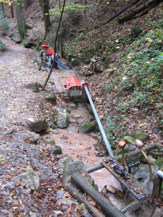
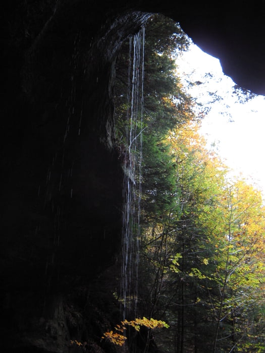
Bis zum Wäscherschlössle dem roten Balken folgen, dann durchs Beutental zurück an den Ortsrand von Lorch. Die zweite Schleife geht über das Kloster Lorch, der Schelmenklinge mit seinen Wasserspielen und den Felsformationen, zur Schillergrotte, dem Hohlen Stein und durch das Schweizerbachtal zurück nach Lorch.
Die Wanderung kann auch sehr gut in zwei kleinere Wanderungen aufgeteilt werden.
Tour gallery
Tour map and elevation profile
Minimum height 270 m
Maximum height 465 m
More about the tour author

|
olker65 |
Comments

Mit Bus und Bahn nach Lorch oder mit dem PKW über die Bundesstrasse Ausfahrt Lorch.
GPS tracks
Trackpoints-
GPX / Garmin Map Source (gpx) download
-
TCX / Garmin Training Center® (tcx) download
-
CRS / Garmin Training Center® (crs) download
-
Google Earth (kml) download
-
G7ToWin (g7t) download
-
TTQV (trk) download
-
Overlay (ovl) download
-
Fugawi (txt) download
-
Kompass (DAV) Track (tk) download
-
Track data sheet (pdf) download
-
Original file of the author (gpx) download
More about the tour author
|
|
olker65 |
Add to my favorites
Remove from my favorites
Edit tags
Open track
My score
Rate