


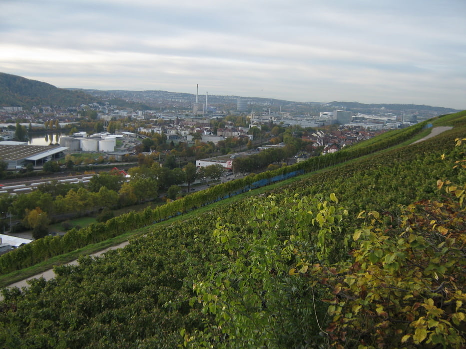
Vom Marktplatz Esslingen durch Weinberge und Obstwiesen über Mettingen, dem Ailenberg und Dautenfels, sowie Roenberger Steige und Mönchberg nach Stuttgart Untertürkheim.
Der Weg zieht sich im leichten Auf und Ab auf halber Hanghöhe entlang. Da er ausschließlich auf geteerten Weinbergwegen verläuft, ist er auch bei schlechter Witterung gut zu gehen.
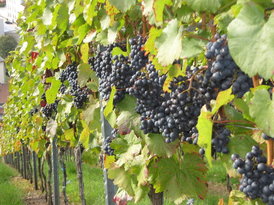
Im Herbst zur Weinlese besonders lohnenswert, da man an den Keltern in Mettingen und Untertürkheim vorbei kommt.
Tour gallery
Tour map and elevation profile
Minimum height 239 m
Maximum height 350 m
More about the tour author

|
olker65 |
Comments

Am besten mit der Bahn zum Esslinger Bahnhof.
Von Untertürkheim mit der S-Bahn S1 Richtung Plochingen zurück zum Ausgangspunkt
GPS tracks
Trackpoints-
GPX / Garmin Map Source (gpx) download
-
TCX / Garmin Training Center® (tcx) download
-
CRS / Garmin Training Center® (crs) download
-
Google Earth (kml) download
-
G7ToWin (g7t) download
-
TTQV (trk) download
-
Overlay (ovl) download
-
Fugawi (txt) download
-
Kompass (DAV) Track (tk) download
-
Track data sheet (pdf) download
-
Original file of the author (gpx) download
More about the tour author
|
|
olker65 |
Add to my favorites
Remove from my favorites
Edit tags
Open track
My score
Rate