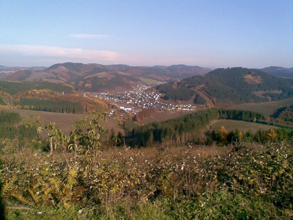
Die Tour bietet nach dem Aufstieg über die Bilsteiner Burg einen klasse Trail runter zum Golfplatz bei Haus Platte. Auch über dem Repetal folgt noch einmal ein wunderschöner Trail durch den Wald. Heute bei gutem Wetter, aber schlammigen Boden durch den Regen der letzten Tage, war dies top zu fahren.
Tour map and elevation profile
Minimum height 294 m
Maximum height 597 m
Comments

GPS tracks
Trackpoints-
GPX / Garmin Map Source (gpx) download
-
TCX / Garmin Training Center® (tcx) download
-
CRS / Garmin Training Center® (crs) download
-
Google Earth (kml) download
-
G7ToWin (g7t) download
-
TTQV (trk) download
-
Overlay (ovl) download
-
Fugawi (txt) download
-
Kompass (DAV) Track (tk) download
-
Track data sheet (pdf) download
-
Original file of the author (gpx) download
Add to my favorites
Remove from my favorites
Edit tags
Open track
My score
Rate

