


Von N-Zabo zur Pegnitz, dort entlang bis Erlenstegen, dann den Radweg weiter bis Behringersdorf. An der Ampel links nach Günthersbühl abbiegen. Weiter über Hub und Neunhof nach Simonshofen. Links nach Bullach abbiegen, weiter nach Herpersdorf, rechts nach Laipersdorf abbiegen, durch Untersdorf nach Großbellhofen. Weiter rechts nach Schnaittach hindurch bis zum Weiher. Vor dem Weiher links abbiegen, weiter Richtung Rollhofen, nach Speikern, über die B 14 nach Ottensoos. Im Ort an der Einmündung rechts nach Schönberg, weiter bis es zum Abzweig links nach Diepersdorf geht. In Diepersdorf am Kreisverkehr geradeaus nach Scherau, an den Weihern vorbei, danach rechts Richtung Brunn. Durch Brunn nach Fischbach und zurück nach Nürnberg.
Es ist leicht welliges Gelände, die Verkehrslage ist ausser dem Stück von Behringersdorf nach Günthersbühl sehr ruhig.
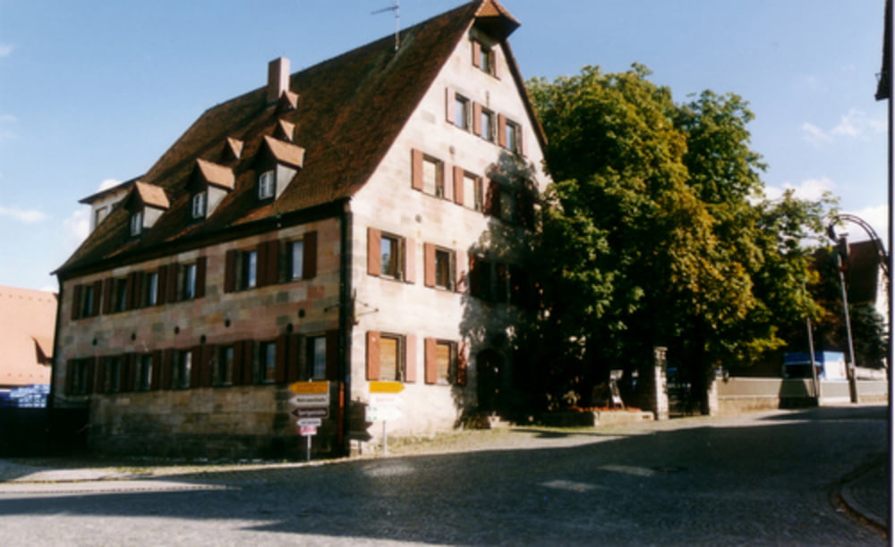
Einkehrmöglichkeiten gibt es in allen Orten, wobei dies bei der Kürze nicht nötig ist.
Tour gallery


Tour map and elevation profile
Minimum height 297 m
Maximum height 436 m
More about the tour author
|
|
Stigi |
Comments

N-Zabo zum Pegnitztal, Erlenstegen
GPS tracks
Trackpoints-
GPX / Garmin Map Source (gpx) download
-
TCX / Garmin Training Center® (tcx) download
-
CRS / Garmin Training Center® (crs) download
-
Google Earth (kml) download
-
G7ToWin (g7t) download
-
TTQV (trk) download
-
Overlay (ovl) download
-
Fugawi (txt) download
-
Kompass (DAV) Track (tk) download
-
Track data sheet (pdf) download
-
Original file of the author (gpx) download
More about the tour author
|
|
Stigi |
Add to my favorites
Remove from my favorites
Edit tags
Open track
My score
Rate