
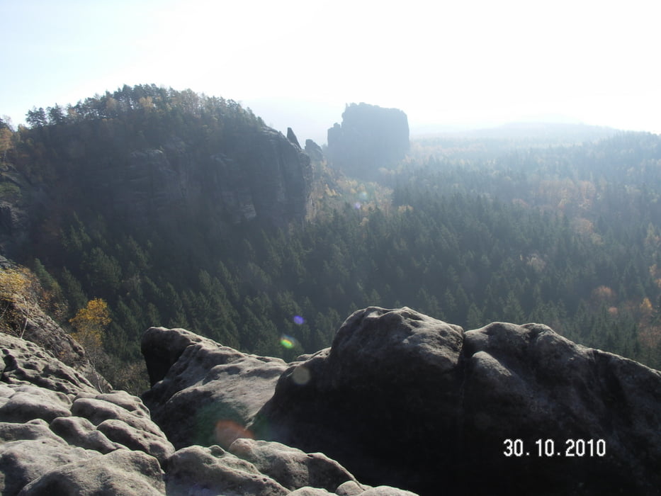

Direkt gegenüber des Parkplatzes ist der Einstieg in die Wanderroute. Es ist am schönsten, man geht die Runde in Uhrzeigerrrichtung. Also erst einmal die Wegweiser in Richtung Lorenzwände bzw Schrammsteine. Die ganze Rund hat eine eine Reihe sehr schöne Aussichtspunkte über die gesammte Gegend , Abstiegsmöglichkeiten zum Kirnitzschtal und auf dem Großen Winterberg eine sehr gute Einkehrmöglichkeit, einschließlich des Aussichtsturms.
Am Anfang einen längeren stetigen Anstieg, einige kurze enge Passagen durch die Felsen. Nach den Gr. Winterberg einen sehr bequemen Abgang mit schönen Aussichtspunkt (Kipphornaussicht) ins Elbtal.
Tour gallery

Tour map and elevation profile
Minimum height 91 m
Maximum height 586 m
More about the tour author

|
berg4500 |
Comments

Als Ausgangspunkt ist der Wanderparkplatz zwischen Bad Schandau und Schmilka, direkt an der B 172, zu empfehlen. Von Deutschland aus über Pirna und von Tschechien über Hrensko oder Sebnitz.
GPS tracks
Trackpoints-
GPX / Garmin Map Source (gpx) download
-
TCX / Garmin Training Center® (tcx) download
-
CRS / Garmin Training Center® (crs) download
-
Google Earth (kml) download
-
G7ToWin (g7t) download
-
TTQV (trk) download
-
Overlay (ovl) download
-
Fugawi (txt) download
-
Kompass (DAV) Track (tk) download
-
Track data sheet (pdf) download
-
Original file of the author (gpx) download
More about the tour author
|
|
berg4500 |
Add to my favorites
Remove from my favorites
Edit tags
Open track
My score
Rate