


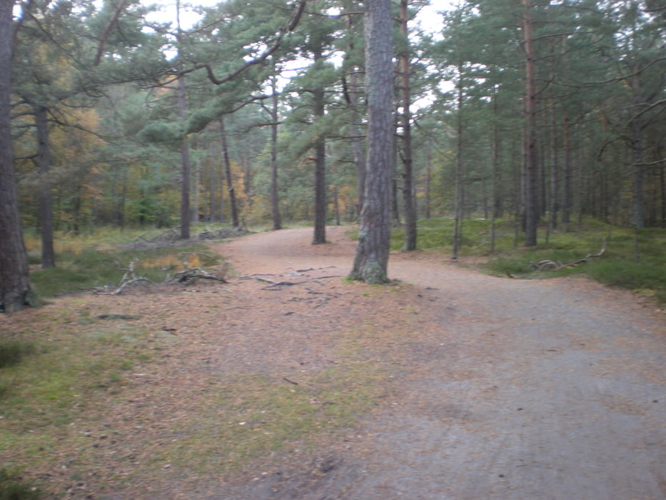
Start ist in Prerow, Richtung Weststrand hinein in den Darsser Wald. Auf schönen Wald und Radwegen geht es bis zum Weststrand. Der Marsch entlang der Ostsee (gerne auch zeitweise in der kalten Ostsee) ist richtig schön. Nach ca. 1 km Strandwanderung geht es wieder rechts ab in den Darsser Wald. Die Tour zurück läßt sich beliebeig erweitern z.B. zum Leuchtturm oder zur Seebrücke mit einem gemütlichen Glühwein zum Tourabschluß.
Tour gallery
Tour map and elevation profile
Minimum height -14 m
Maximum height 14 m
More about the tour author

|
uli888 |
Comments

jeder Parkplatz in Prerow.
GPS tracks
Trackpoints-
GPX / Garmin Map Source (gpx) download
-
TCX / Garmin Training Center® (tcx) download
-
CRS / Garmin Training Center® (crs) download
-
Google Earth (kml) download
-
G7ToWin (g7t) download
-
TTQV (trk) download
-
Overlay (ovl) download
-
Fugawi (txt) download
-
Kompass (DAV) Track (tk) download
-
Track data sheet (pdf) download
-
Original file of the author (gpx) download
More about the tour author
|
|
uli888 |
Add to my favorites
Remove from my favorites
Edit tags
Open track
My score
Rate