Login

Forgotten password?

Cookies have to be accepted!
Your browser's cookie functionality is disabled. Please enable this functionality.

Not a member yet?

Register now
Login

Available for registred users only

Log in to use this feature.

Forgotten password?

Cookies have to be accepted!
Your browser's cookie functionality is disabled. Please enable this functionality.

Not a member yet?

Register now
Filter
Categories
Advanced filters
  • Distance (km)
  • Height
Save filters Reset filter

TrackRank

QRCode

Technical data

Distance13,9 km Height221 m Way down222 m Duration03:30 h:m Date05.12.2010
Scores Author Landscape Fun factor Fitness Technique

Statistics

970 Views Scores 47 Downloads Average
Rate
  • Track data sheet
  • Directions
  • Downloads

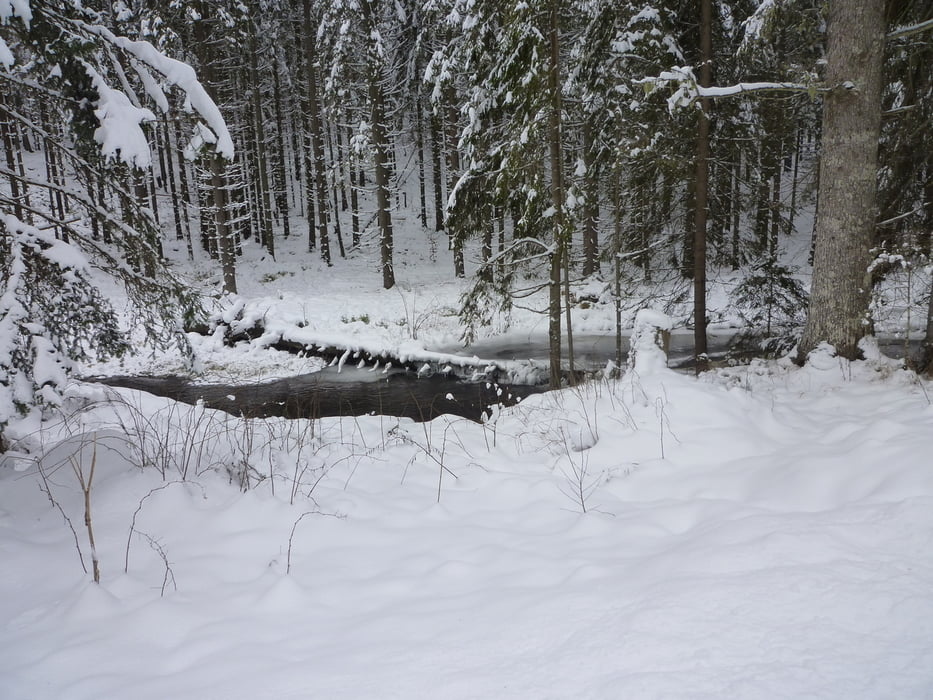
Schöne Winterwanderung von Ludwigsthal zum Schwellhäusel. 

Entlang des Baches Deffernik. Vorbei am Schwemmkanal und Urwaldriesen.


Einkehrmöglichkeit Schwellhäusel.

Tour gallery

Tour map and elevation profile

  • Open Street Map
  • Google
Minimum height 606 m Maximum height 737 m Detailed view

More about the tour author

preiste
Member since 2010

Send private message

Comments

Parkplatz Info-Zentrum Nationalpark Bayerischer Wald in Ludwigsthal

GPS tracks

Trackpoints
  • GPX / Garmin Map Source (gpx) download
  • TCX / Garmin Training Center® (tcx) download
  • CRS / Garmin Training Center® (crs) download
  • Google Earth (kml) download
  • G7ToWin (g7t) download
  • TTQV (trk) download
  • Overlay (ovl) download
  • Fugawi (txt) download
  • Kompass (DAV) Track (tk) download
  • Track data sheet (pdf) download
  • Original file of the author (gpx) download

More about the tour author

preiste
Member since 2010

Send private message
Share track
Add to my favorites
Remove from my favorites
Edit tags
My score
Rate
Track: Winterwanderung zum Schwellhäusl
Type: Hiking
Distance: 13,9 km
Evaluated on:
Duration:
Day(s)
Hour(s)
Minute(s)
Score: Landscape Fun factor Fitness Technique