

Die Tour beginnt am Parkplatz Ochsenkkopf Süd geht ein Stück den Köhlerweg entlang, knapp unterhalb des Gipfels verlässt man den Waldweg um über den "Winterwanderweg" wieder ins Tal zu laufen.
Viel Spaß!
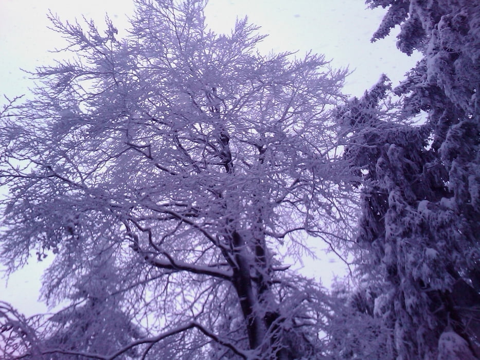
Tour gallery


Tour map and elevation profile
Minimum height 756 m
Maximum height 998 m
More about the tour author
|
|
berndhuber |
Comments

A9 Ausfahrt Nord kurz vor Fichtelberg links auf die Pnoramastraße nach Fleckl
GPS tracks
Trackpoints-
GPX / Garmin Map Source (gpx) download
-
TCX / Garmin Training Center® (tcx) download
-
CRS / Garmin Training Center® (crs) download
-
Google Earth (kml) download
-
G7ToWin (g7t) download
-
TTQV (trk) download
-
Overlay (ovl) download
-
Fugawi (txt) download
-
Kompass (DAV) Track (tk) download
-
Track data sheet (pdf) download
-
Original file of the author (gpx) download
More about the tour author
|
|
berndhuber |
Add to my favorites
Remove from my favorites
Edit tags
Open track
My score
Rate