


Tour gallery
Tour map and elevation profile
Minimum height -96 m
Maximum height 94 m
More about the tour author
|
|
tbachner |
Comments

Die kanarische Insel Lanzarote erreicht man im Direktflug von vielen deutschen und europäischen Flughäfen. Am günstigsten ist die Last minute Buchung oder die Nutzung von Low Cost Carriern.
Der Flughafen in Lanzarote liegt unweit der Inselhauptstadt Arrecife. Busverbindungen gibt von hier nur zum zentralen Busbahnhof von Arecife. Von hier erreicht man das alle wichtigen Destinationen. Wählt man alternativ den Transport mit dem Taxi so sind selbst die weitesten Ziele auf der Insel für etwas 50 € zu erreichen.
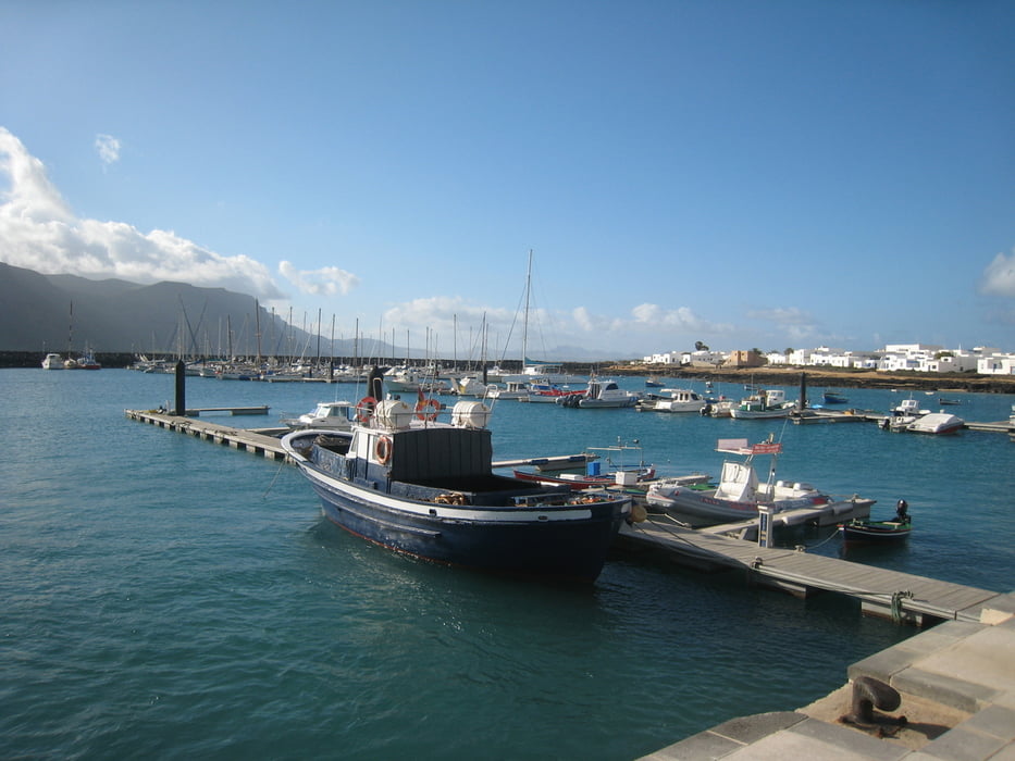
La Graciosa erreicht man ab Orsola mehrmals täglich mit der Personenfähre. Der Radtransport ist kostenlos.
GPS tracks
Trackpoints-
GPX / Garmin Map Source (gpx) download
-
TCX / Garmin Training Center® (tcx) download
-
CRS / Garmin Training Center® (crs) download
-
Google Earth (kml) download
-
G7ToWin (g7t) download
-
TTQV (trk) download
-
Overlay (ovl) download
-
Fugawi (txt) download
-
Kompass (DAV) Track (tk) download
-
Track data sheet (pdf) download
-
Original file of the author (gpx) download
More about the tour author
|
|
tbachner |
Add to my favorites
Remove from my favorites
Edit tags
Open track
My score
Rate