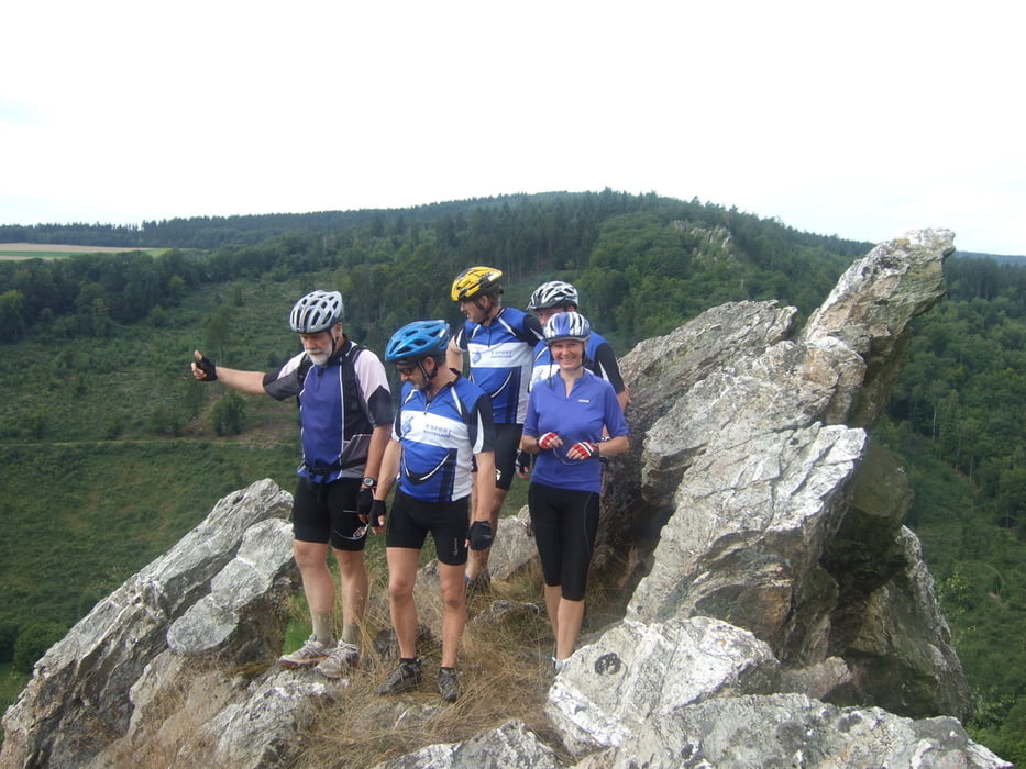
schöne Ausflugstour mit vielen Aussichtspunkten/Plätzen zum verweilen, schauen und entspannen. Sollte man sich mal gönnen ohne Eile mal abfahren und nebenbei, wenn man möchte einige Geogachs einlocken. Die geschichte vom toten Förster vom Lohbach siehe den Link. Den Kopf haben wir nicht gefunden. Dieser soll noch irgendwo da im Wald zu finden sein.
Further information at
http://www.fahrrad-binz.de/Tour gallery
Tour map and elevation profile
Minimum height 251 m
Maximum height 564 m
Comments

GPS tracks
Trackpoints-
GPX / Garmin Map Source (gpx) download
-
TCX / Garmin Training Center® (tcx) download
-
CRS / Garmin Training Center® (crs) download
-
Google Earth (kml) download
-
G7ToWin (g7t) download
-
TTQV (trk) download
-
Overlay (ovl) download
-
Fugawi (txt) download
-
Kompass (DAV) Track (tk) download
-
Track data sheet (pdf) download
-
Original file of the author (gpx) download
Add to my favorites
Remove from my favorites
Edit tags
Open track
My score
Rate


