

Eine nicht zu anstrengende Tour in eindrucksvoller Kulisse im größten Vulkanmassiv Europas.
Eine sehr reizvolle Gegend in Frankreich ist die Auvergne mit ihrem Vulkanmassiv.
Für Natur- und Landschaftsliebhaber gibt es hier fast endlos viel zu entdecken.
Die Region heißt Puy de Dome wie der gleichnamige höchste Vulkan.
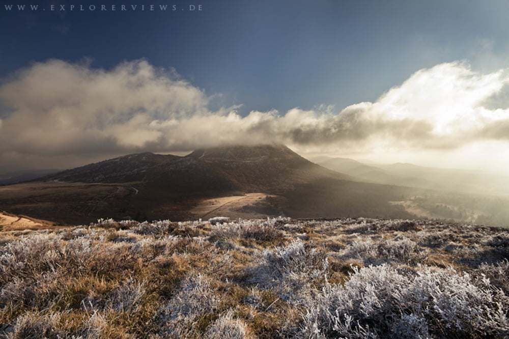
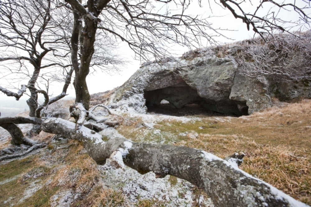
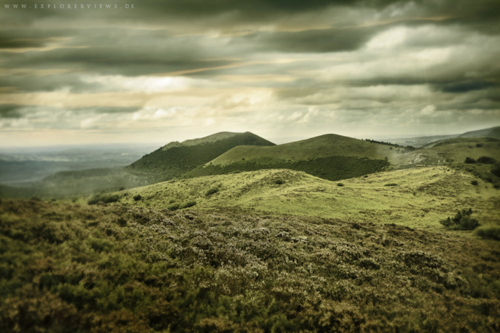
Diese Tour führt auf der Nordseite des großen Puy de Dome durch die alten Vulkankegel. Vorbei an Grotten, Heide und satten Grünflächen, immer mit Blick auf den 1465 m in die Höhe ragenden Puy de Dome.
Further information at
http://www2.auvergne-tourisme.info/de/decouvrir/presentation/circuit_pdd.php#riomTour gallery

Tour map and elevation profile
Minimum height 989 m
Maximum height 1223 m
More about the tour author
|
|
nature_explorer |
Comments

Aus Norden kommend über A89/ E70
- bei Ausfahrt 26 Richtung Guéret/Pontgibaud fahren auf D941
- bis Parkplatz bei Col de Goules
GPS tracks
Trackpoints-
GPX / Garmin Map Source (gpx) download
-
TCX / Garmin Training Center® (tcx) download
-
CRS / Garmin Training Center® (crs) download
-
Google Earth (kml) download
-
G7ToWin (g7t) download
-
TTQV (trk) download
-
Overlay (ovl) download
-
Fugawi (txt) download
-
Kompass (DAV) Track (tk) download
-
Track data sheet (pdf) download
-
Original file of the author (gpx) download
More about the tour author
|
|
nature_explorer |
Add to my favorites
Remove from my favorites
Edit tags
Open track
My score
Rate