


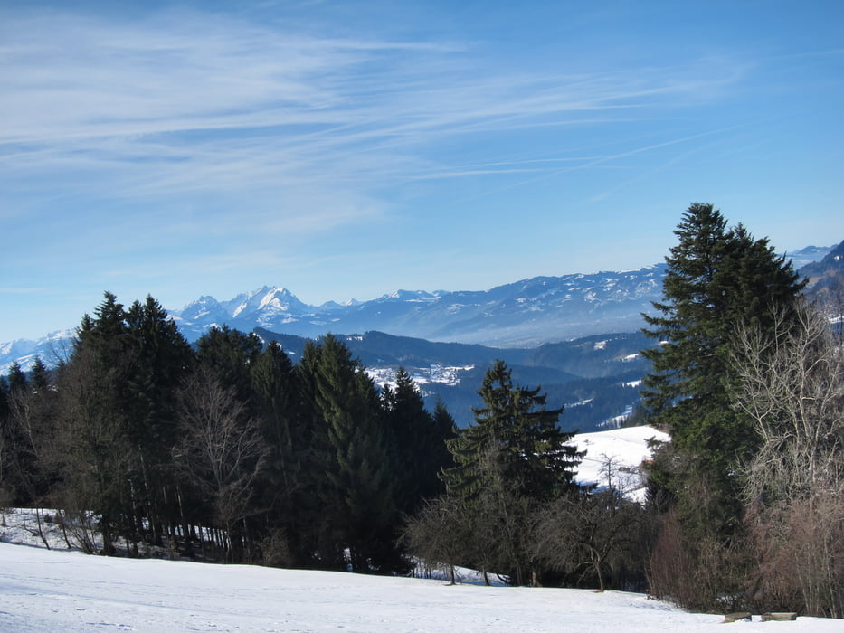
Schöne Winterwanderung mit tollen Aussichten.
Machbar bei wenig Schnee und gefrorenem Boden. Oder teilweise mit Schneeschuhen. Im Sommer geht`s natürlich auch.
Further information at
http://www.sulzberg.at/system/web/sonderseite.aspx?menuonr=219802887&detailonr=219802887Tour gallery


Tour map and elevation profile
Minimum height 901 m
Maximum height 1009 m
More about the tour author
|
|
W-C |
Comments

Von der Alpenstraße kommend B308 (Deutschland) nach Oberreute - Schönebühl - Vorderschweinhöf - Sulzberg (Österreich). Durch den Ort, gibt’s auf der rechten Straßenseite entlang einen größeren Parkplatz.
Parkplatz - Koordinaten für dein Navigationsgerät
N 47° 31. 240´
E 9° 54. 666´
GPS tracks
Trackpoints-
GPX / Garmin Map Source (gpx) download
-
TCX / Garmin Training Center® (tcx) download
-
CRS / Garmin Training Center® (crs) download
-
Google Earth (kml) download
-
G7ToWin (g7t) download
-
TTQV (trk) download
-
Overlay (ovl) download
-
Fugawi (txt) download
-
Kompass (DAV) Track (tk) download
-
Track data sheet (pdf) download
-
Original file of the author (gpx) download
More about the tour author
|
|
W-C |
Add to my favorites
Remove from my favorites
Edit tags
Open track
My score
Rate