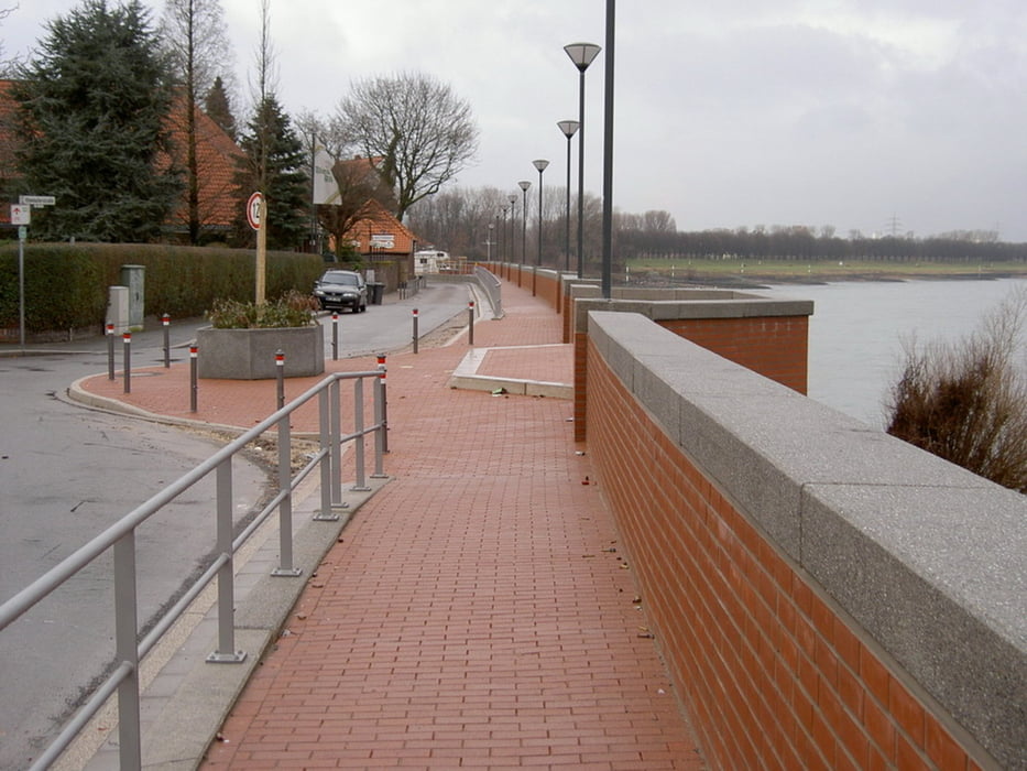
Eine kleine Tour/Spaziergang (keine Wald- und Wiesenwanderung) durch Grimlinghausen/Jremlekuse/Hippelank, entlang des Rheins, zur Erftmündung und einen kleinen Teil entlang der Erft für Besucher die gerade zu Besuch(geschäftl od. privat) im Großraum Köln/Düsseldorf sind.
Hier lernen wir ein ehem. Fischerdorf , den Rhein, die Erft, und -mündung kennen. Hippelank für Ziegenland (ganz, ganz frei ;-) ) da die Haltung von Ziegen - aufgrund der Armut - früher weit verbreitet war.
Start und Ziel sind unspektakulär aber wir gehen einen großen Teil entlang des Rheins und der Erft. Also meine Empfehlung ein wenig Zeit einplanen.....
Noch ein Tipp: Wer mag kann weiter entlang der Erft (über die Holzbrücke, ca. 700 m später einmal die Straße überq.) gehen und evtl. (noch ca. 7, 2 km zusätzlich ) die Museumsinsel Hombroich besuchen.
Jahreszeit: Immer möglich. Tipp Interessant bei Hochwasser
Wochentag: Meine Empfehlung lt. möglichst den Sonntag vermeiden
Weitere Infos:
http://www.hippelank.de
http://www.neuss.de/stadtportrait/stadtgeschichte/castrum-novaesium
http://www.neuss.de/stadtportrait/stadtgeschichte
und Wikipedia
Bitte kommentieren!
Further information at
http://www.hippelank.deTour gallery
Tour map and elevation profile
Comments

Start/Ziel N 51.17304 - E 6.74185 , Wohngebiet (Herzogstraße in Neuss-Grimlinghausen)
Anfahrt über A46 AS Uedesheim oder A57 AS Norf möglich
GPS tracks
Trackpoints-
GPX / Garmin Map Source (gpx) download
-
TCX / Garmin Training Center® (tcx) download
-
CRS / Garmin Training Center® (crs) download
-
Google Earth (kml) download
-
G7ToWin (g7t) download
-
TTQV (trk) download
-
Overlay (ovl) download
-
Fugawi (txt) download
-
Kompass (DAV) Track (tk) download
-
Track data sheet (pdf) download
-
Original file of the author (gpx) download


