Login

Forgotten password?

Cookies have to be accepted!
Your browser's cookie functionality is disabled. Please enable this functionality.

Not a member yet?

Register now
Login

Available for registred users only

Log in to use this feature.

Forgotten password?

Cookies have to be accepted!
Your browser's cookie functionality is disabled. Please enable this functionality.

Not a member yet?

Register now
Filter
Categories
Advanced filters
  • Distance (km)
  • Height
Save filters Reset filter

TrackRank

QRCode

Technical data

Distance32,8 km Height962 m Way down925 m Duration03:00 h:m Date15.02.2011
Scores Author Landscape Fun factor Fitness Technique

Statistics

1132 Views Scores 179 Downloads Average
Rate
  • Track data sheet
  • Directions
  • Downloads
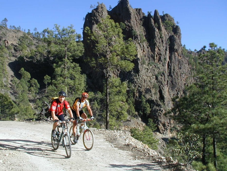
Ruta de mtb por senderos,carreteraa y pista por la zona de medianias de San Lorenzo y San Jose del Alamo. Paisages bonitos y alguna que otra trialera.

Tour gallery

Tour map and elevation profile

  • Open Street Map
  • Google
Minimum height 97 m Maximum height 654 m Detailed view

More about the tour author

madeheimclaudio
Member since 2010

Send private message

Comments

Salida del centro de salud de san lorenzo (parking)

GPS tracks

Trackpoints
  • GPX / Garmin Map Source (gpx) download
  • TCX / Garmin Training Center® (tcx) download
  • CRS / Garmin Training Center® (crs) download
  • Google Earth (kml) download
  • G7ToWin (g7t) download
  • TTQV (trk) download
  • Overlay (ovl) download
  • Fugawi (txt) download
  • Kompass (DAV) Track (tk) download
  • Track data sheet (pdf) download
  • Original file of the author (tcx) download

More about the tour author

madeheimclaudio
Member since 2010

Send private message
Share track
Add to my favorites
Remove from my favorites
Edit tags
My score
Rate
Track: Ruta mtb San Lorenzo
Type: Mountain bike
Distance: 32,8 km
Evaluated on:
Duration:
Day(s)
Hour(s)
Minute(s)
Score: Landscape Fun factor Fitness Technique