Login

Forgotten password?

Cookies have to be accepted!
Your browser's cookie functionality is disabled. Please enable this functionality.

Not a member yet?

Register now
Login

Available for registred users only

Log in to use this feature.

Forgotten password?

Cookies have to be accepted!
Your browser's cookie functionality is disabled. Please enable this functionality.

Not a member yet?

Register now
Filter
Categories
Advanced filters
  • Distance (km)
  • Height
Save filters Reset filter

TrackRank

QRCode

Technical data

Distance55,1 km Height1051 m Way down1001 m Duration00:00 h:m Date20.02.2011
Scores Author Landscape Fun factor Fitness Technique

Statistics

1316 Views Scores 328 Downloads Average
Rate
  • Track data sheet
  • Directions
  • Downloads
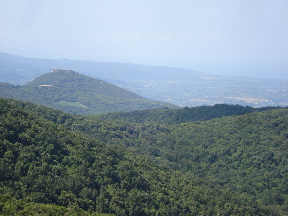
Dal Poggio seguire la strada a sinistra dell'ingresso della villa, attenzione alla traccia che si stacca a sinistra dopo circa 200m (segnale di sentiero bianco-rosso) da qui il tratto fino ad incorciare lo sterrato del parco non sempre è ciclabile causa bosco incolto, ma senza difficoltà.

Tour gallery

Tour map and elevation profile

  • Open Street Map
  • Google
Minimum height -38 m Maximum height 620 m Detailed view

More about the tour author

pizzoccolo
Member since 2011

Send private message

Comments

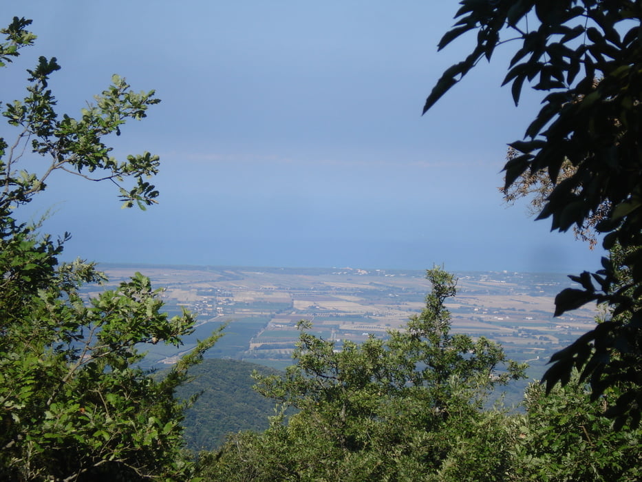
Partenza da Marina di Bibbona (la California) si passa per Bibbona comune seguendo le indicazioni Foresta della Magona.

GPS tracks

Trackpoints
  • GPX / Garmin Map Source (gpx) download
  • TCX / Garmin Training Center® (tcx) download
  • CRS / Garmin Training Center® (crs) download
  • Google Earth (kml) download
  • G7ToWin (g7t) download
  • TTQV (trk) download
  • Overlay (ovl) download
  • Fugawi (txt) download
  • Kompass (DAV) Track (tk) download
  • Track data sheet (pdf) download
  • Original file of the author (gpx) download

More about the tour author

pizzoccolo
Member since 2011

Send private message
Share track
Add to my favorites
Remove from my favorites
Edit tags
My score
Rate
Track: Bibbona POGGIO PRUNETO
Type: Mountain bike
Distance: 55,1 km
Evaluated on:
Duration:
Day(s)
Hour(s)
Minute(s)
Score: Landscape Fun factor Fitness Technique