


Rhön Rundweg Bad Bocklet Nr 2
Start am Parkplatz Eichelberg zwischen Kleinbrach und Grossenbrach kurz hinter Kleinbrach noch vor der Brücke über die Saale ist der Wanderparkplatz Eichelberg.
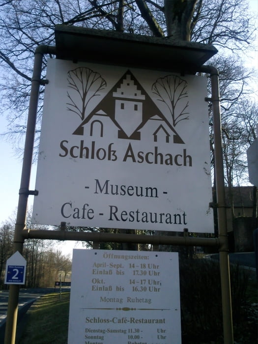
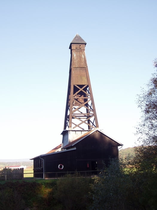
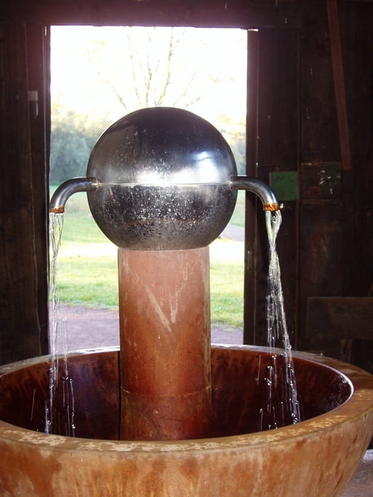
Zunächst durch den Wald nach Aschach vorbei am Schloss Aschach nach Grossenbrach und zurück zum Ausgangspunkt. Die Strecke ist 5,9 km lang und ohne nennenswerte Steigungen. Einkehrmöglichkeiten finden sich in Aschach (Öschicher Heckenwirtschaft - gehört zur Bäckerei Laudensack und liegt am Weg - oder Cafe im Schloss Aschach) und in Kleinbrach (Fränkische Schmankerlstube (vom Wanderparkplatz zurück nach Kleinbrach - an der Kirche rechts halten und in die Ortschaft dann noch zwei mal rechts) Sehr zu empfehlen ist auch ein Besuch im Museum Schloss Aschach und ein kleiner Abstecher zum Luitpoldsprudel (hin und zurück 1 km mehr)
Die Tour kann auch am Parkplatz Schloss Aschach oder in Grossenbrach begonnen werden.
Die Tour ist beschrieben im Wanderführer "Rhön-Rundwege Südrhön Lauertal" aus dem Dehler Verlag ISBN 978-3-9813032-4-7
Tour gallery
Tour map and elevation profile
Minimum height 210 m
Maximum height 307 m
More about the tour author
|
|
oboe-kg |
Comments

GPS tracks
Trackpoints-
GPX / Garmin Map Source (gpx) download
-
TCX / Garmin Training Center® (tcx) download
-
CRS / Garmin Training Center® (crs) download
-
Google Earth (kml) download
-
G7ToWin (g7t) download
-
TTQV (trk) download
-
Overlay (ovl) download
-
Fugawi (txt) download
-
Kompass (DAV) Track (tk) download
-
Track data sheet (pdf) download
-
Original file of the author (gpx) download
More about the tour author
|
|
oboe-kg |
Add to my favorites
Remove from my favorites
Edit tags
Open track
My score
Rate