Login

Forgotten password?

Cookies have to be accepted!
Your browser's cookie functionality is disabled. Please enable this functionality.

Not a member yet?

Register now
Login

Available for registred users only

Log in to use this feature.

Forgotten password?

Cookies have to be accepted!
Your browser's cookie functionality is disabled. Please enable this functionality.

Not a member yet?

Register now
Filter
Categories
Advanced filters
  • Distance (km)
  • Height
Save filters Reset filter

TrackRank

QRCode

Technical data

Distance65,1 km Height2361 m Way down2372 m Duration00:00 h:m Date28.02.2011
Scores Author Landscape Fun factor Fitness Technique

Statistics

1731 Views Scores 152 Downloads Average
Rate
  • Track data sheet
  • Directions
  • Downloads

Percorso ULTRABERICUS TRAIL edizione UNO

19 marzo 2011

Further information at

http://www.ultrabericustrail.it

Tour map and elevation profile

  • Open Street Map
  • Google
Minimum height 21 m Maximum height 416 m Detailed view

More about the tour author

claudiocunegatti
Member since 2009

Send private message

Comments

Mario67 on 16.03.2011

ultrabericus

ottimo
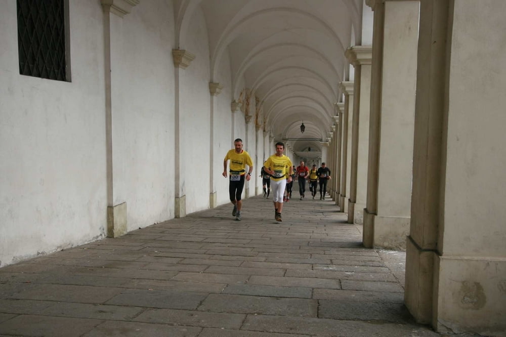
 Partenza da Piazza dei Signori a Vicenza, arrivo in Viale Dalmazia (Campo Marzio)

GPS tracks

Trackpoints
  • GPX / Garmin Map Source (gpx) download
  • TCX / Garmin Training Center® (tcx) download
  • CRS / Garmin Training Center® (crs) download
  • Google Earth (kml) download
  • G7ToWin (g7t) download
  • TTQV (trk) download
  • Overlay (ovl) download
  • Fugawi (txt) download
  • Kompass (DAV) Track (tk) download
  • Track data sheet (pdf) download
  • Original file of the author (gpx) download

More about the tour author

claudiocunegatti
Member since 2009

Send private message
Share track
Add to my favorites
Remove from my favorites
Edit tags
My score
Rate
Track: ULTRABERICUS TRAIL 2011
Type: Running
Distance: 65,1 km
Evaluated on:
Duration:
Day(s)
Hour(s)
Minute(s)
Score: Landscape Fun factor Fitness Technique