Login

Forgotten password?

Cookies have to be accepted!
Your browser's cookie functionality is disabled. Please enable this functionality.

Not a member yet?

Register now
Login

Available for registred users only

Log in to use this feature.

Forgotten password?

Cookies have to be accepted!
Your browser's cookie functionality is disabled. Please enable this functionality.

Not a member yet?

Register now
Filter
Categories
Advanced filters
  • Distance (km)
  • Height
Save filters Reset filter

TrackRank

QRCode

Technical data

Distance12,7 km Height291 m Way down176 m Duration03:00 h:m Date02.03.2011
Scores Author Landscape Fun factor Fitness Technique

Statistics

982 Views Scores 83 Downloads Average
Rate
  • Track data sheet
  • Directions
  • Downloads

Start ist am Parkplatz Oberes Tor in Münnerstadt.

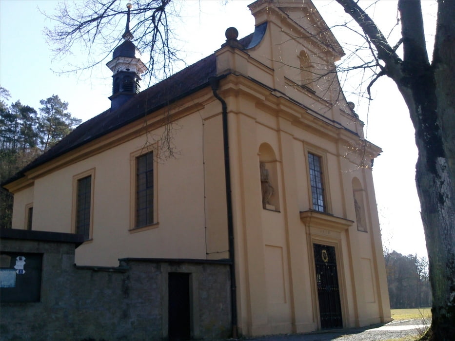
Zunächst ein Stück entlang der Bahnlinie in südliche Richtung. Kurz nach der Bahnbrücke rechts ab in den Wald und Anstieg zum Hainturm. Weiter durch den Wald vorbei an einer Bildeiche zum Thalhof vorbei an der Thalkirche zurück nach Münnerstadt.

Die Tour ist beschrieben im Wanderführer "Rhön-Rundwege Südrhön Lauertal" aus dem Dehler Verlag ISBN 978-3-9813032-4-7

Tour gallery

Tour map and elevation profile

  • Open Street Map
  • Google
Minimum height 133 m Maximum height 332 m Detailed view

More about the tour author

oboe-kg
Member since 2008

Send private message

Comments

GPS tracks

Trackpoints
  • GPX / Garmin Map Source (gpx) download
  • TCX / Garmin Training Center® (tcx) download
  • CRS / Garmin Training Center® (crs) download
  • Google Earth (kml) download
  • G7ToWin (g7t) download
  • TTQV (trk) download
  • Overlay (ovl) download
  • Fugawi (txt) download
  • Kompass (DAV) Track (tk) download
  • Track data sheet (pdf) download
  • Original file of the author (gpx) download

More about the tour author

oboe-kg
Member since 2008

Send private message
Share track
Add to my favorites
Remove from my favorites
Edit tags
My score
Rate
Track: Rhön Rundweg Münnerstadt Nr. 5
Type: Hiking
Distance: 12,7 km
Evaluated on:
Duration:
Day(s)
Hour(s)
Minute(s)
Score: Landscape Fun factor Fitness Technique