


Von Bad Urach auf die Albhochfläche und zurück
Start der Rundtour ist der Parkplatz beim Sportplatz am Ortsrand von Bad Urach.
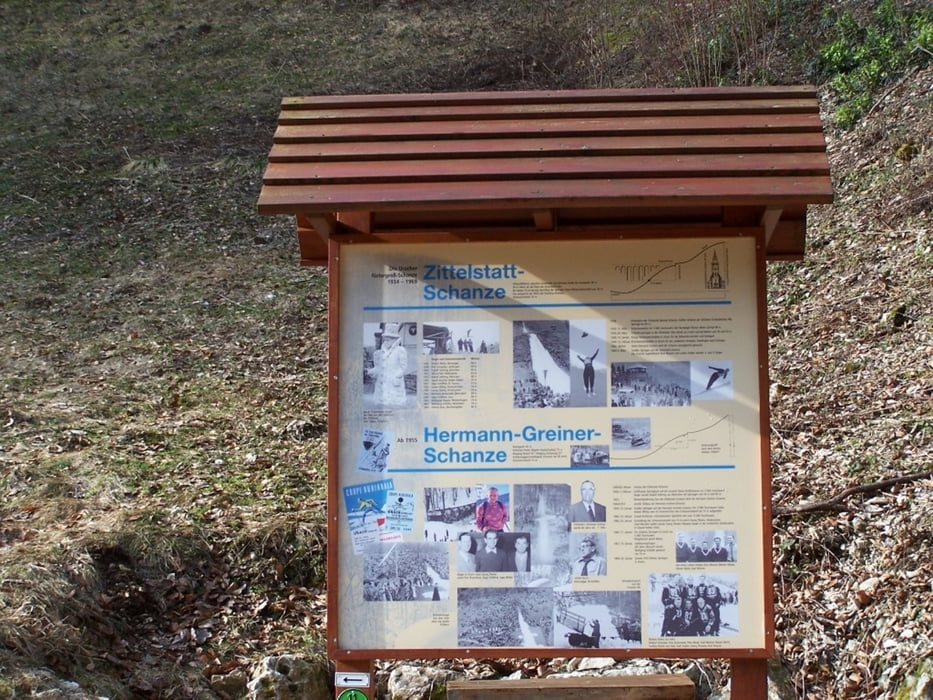
Oberhalb des Sportplatzes geht die Tour dem gelben Dreieck folgend die Zittelstatt hinaus . Vorbei an der Hermann-Greiner-Skischanze und danach sehr steil hinauf auf die Albhochfläche bei Hengen.
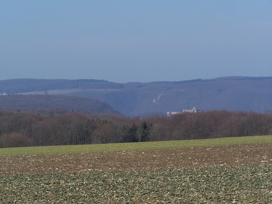
Auf der Hochfläche eben weiter in der Sonne mit herrlichem Blick auf die St. Johanner Alb mit dem Fohlenhof und Upfingen sowie dem Hohen Urach. 2 km später gelangt man zu einer Feuerstelle „Beim Hochberg“. Die Hälfte ist geschafft und ein Vesper bietet sich an. Dem gelben Dreieck folgend geht es nun am Albtrauf entlang mit vielen Aussichtspunkten auf das Ermstal und Bad Urach. Am Micheleskäppele verlassen wir das gelbe Dreieck und gehen den Pfad rechts vom Micheleskäppele hangabwärts zum Sportplatz und unserem Parkplatz.
Tour gallery

Tour map and elevation profile
Minimum height 476 m
Maximum height 778 m
More about the tour author

|
hade |
Comments

Auf der B28 bis an den Ortsrand von Bad Urach. Dort beim Hinweisschild auf den Parkplatz beim Sportgelände abbiegen
GPS tracks
Trackpoints-
GPX / Garmin Map Source (gpx) download
-
TCX / Garmin Training Center® (tcx) download
-
CRS / Garmin Training Center® (crs) download
-
Google Earth (kml) download
-
G7ToWin (g7t) download
-
TTQV (trk) download
-
Overlay (ovl) download
-
Fugawi (txt) download
-
Kompass (DAV) Track (tk) download
-
Track data sheet (pdf) download
-
Original file of the author (gpx) download
More about the tour author
|
|
hade |
Add to my favorites
Remove from my favorites
Edit tags
Open track
My score
Rate