Login

Forgotten password?

Cookies have to be accepted!
Your browser's cookie functionality is disabled. Please enable this functionality.

Not a member yet?

Register now
Login

Available for registred users only

Log in to use this feature.

Forgotten password?

Cookies have to be accepted!
Your browser's cookie functionality is disabled. Please enable this functionality.

Not a member yet?

Register now
Filter
Categories
Advanced filters
  • Distance (km)
  • Height
Save filters Reset filter

TrackRank

QRCode

Technical data

Distance29,4 km Height443 m Way down444 m Duration02:15 h:m Date12.03.2011
Scores Author Landscape Fun factor Fitness Technique

Statistics

384 Views 1 Score 65 Downloads 5.00 Average
Rate
  • Track data sheet
  • Directions
  • Downloads
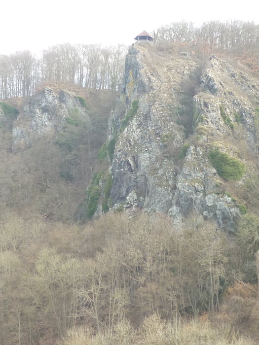
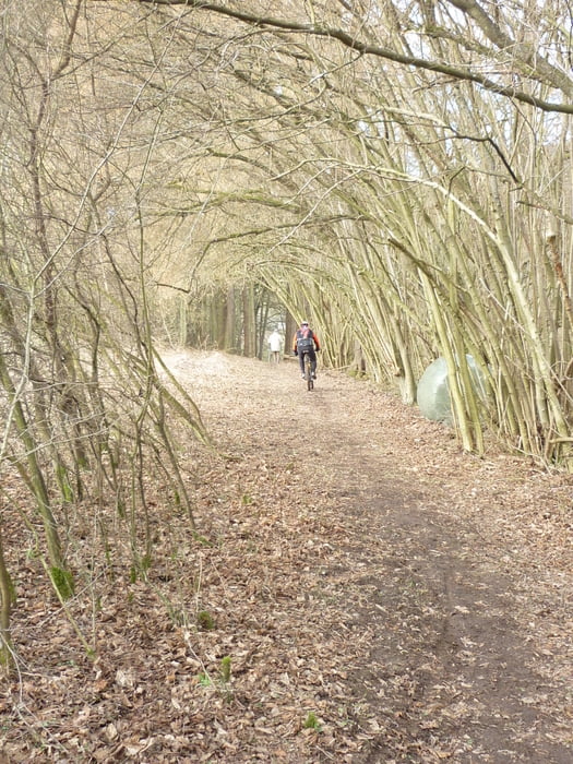
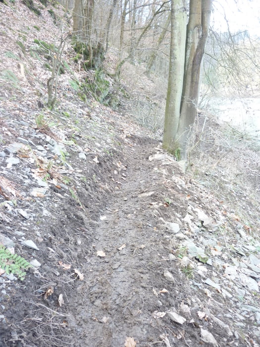
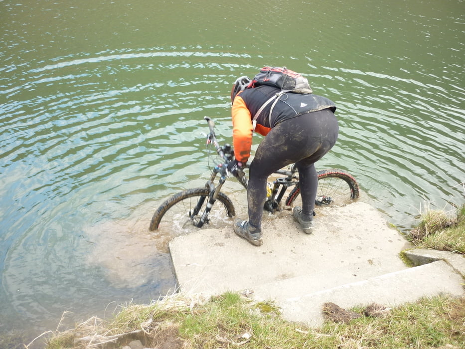
Von Atendiez , Hare Mauer zur Lahn. Talhof hoch Steinsberg, Singletrail Laurenburg. Dann Asphalt Laurenburg.  Erstmals Lückenschluß Radweg Laurenburg Geilnau. Über Balduinstein, Christmann zurück ins gelobte Land

Tour gallery

Tour map and elevation profile

  • Open Street Map
  • Google
Minimum height 69 m Maximum height 244 m Detailed view

More about the tour author

Sade
Member since 2010

Send private message

Comments

Afinc on 19.03.2016

Schöne Tour!

Sehr schöne Tour bei der alles geboten wird schöne Landschaften mit Burgen, Spaß auf teils anspruchsvollen Trails und einmal geht's sogar durchs Wasser ;-). Vielen Dank fürs Tracken!!

GPS tracks

Trackpoints
  • GPX / Garmin Map Source (gpx) download
  • TCX / Garmin Training Center® (tcx) download
  • CRS / Garmin Training Center® (crs) download
  • Google Earth (kml) download
  • G7ToWin (g7t) download
  • TTQV (trk) download
  • Overlay (ovl) download
  • Fugawi (txt) download
  • Kompass (DAV) Track (tk) download
  • Track data sheet (pdf) download
  • Original file of the author (gpx) download

More about the tour author

Sade
Member since 2010

Send private message
Share track
Add to my favorites
Remove from my favorites
Edit tags
My score
Rate
Track: LückenschlußLahntal
Type: Mountain bike
Distance: 29,4 km
Evaluated on:
Duration:
Day(s)
Hour(s)
Minute(s)
Score: Landscape Fun factor Fitness Technique