
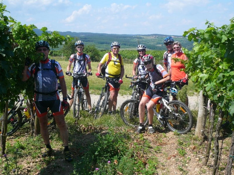

Unterschiedlich und großartig sind die Landschaften, die der Kamp auf seinem Weg durchfließt. Diese Radtour führt Sie entlang dieses Wasserweges von Zwettl im innersten Waldviertel nach Ottenstein, wo man sich an die Fjorde Skandinaviens versetzt fühlt, bis zum nahezu südländisch anmutendem unteren Flusslauf, wo der Kamp den Wagram durchschneidet. Eine ideale Kombination von Radetappen und Strecken, die Sie mit dem ELITE Radbus zurücklegen, ermöglicht es auch, dem weniger trainierten Radler in diese abgeschiedene Flusslandschaft vorzudringen.
Further information at
http://www.eliteradtours.at//index.php?option=com_events&task=view_detail&agid=532&year=2011&month=06&day=13&Itemid=71Tour gallery


Tour map and elevation profile
Minimum height 208 m
Maximum height 631 m
More about the tour author
|
|
ELITE |
Comments

REISEPROGRAMM
Unsere heutige Tour beginnt in Rastenfeld. Nach kurzem Auf und Ab erreichen wir das Kamptal oberhalb von Krumau. Noch ein lohnender kurzer Abstecher hinauf nach Schmerbach und die Rast in Krumau ist verdient. Gut erholt nehmen wir den Anstieg auf Nebenstraßen nach Gföhl in Angriff. Dort angekommen sind es nur noch ein Paar Höhenmeter bis zum Einzugsgebiet des Loisbachs. Diesem folgen wir nur noch bergab zu unserem Ziel, dem berühmten Weinort Langenlois.
GPS tracks
Trackpoints-
GPX / Garmin Map Source (gpx) download
-
TCX / Garmin Training Center® (tcx) download
-
CRS / Garmin Training Center® (crs) download
-
Google Earth (kml) download
-
G7ToWin (g7t) download
-
TTQV (trk) download
-
Overlay (ovl) download
-
Fugawi (txt) download
-
Kompass (DAV) Track (tk) download
-
Track data sheet (pdf) download
-
Original file of the author (gpx) download
More about the tour author
|
|
ELITE |
Add to my favorites
Remove from my favorites
Edit tags
Open track
My score
Rate