


Nach dem Flugplatz links die Straße hoch zum Stimmersee (Parkplatz). Dem Dreibrunnenweg bis zu den Dreibrunnen Joch folgen danach führt links ein Waldweg zum Forstweg Pendling, bei der Schranke links und dann weiter auf dem Fortsweg Pendling bleiben. Weiter vorbei an der Kalaralm hoch bis zum Schutzhaus. Zurück auf der gleichen Route.
Further information at
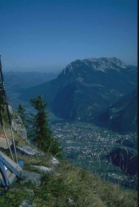
http://www.pendlinghaus.at/Tour gallery
Tour map and elevation profile
Minimum height 535 m
Maximum height 1536 m
More about the tour author

|
bergkine |
Comments

Inntal-Autobahn Ri Innsbruck, nach Kufstein Ausfahrt Langkampfen weiter bis Stimmersee (Parkplatz)
GPS tracks
Trackpoints-
GPX / Garmin Map Source (gpx) download
-
TCX / Garmin Training Center® (tcx) download
-
CRS / Garmin Training Center® (crs) download
-
Google Earth (kml) download
-
G7ToWin (g7t) download
-
TTQV (trk) download
-
Overlay (ovl) download
-
Fugawi (txt) download
-
Kompass (DAV) Track (tk) download
-
Track data sheet (pdf) download
-
Original file of the author (g7t) download
More about the tour author
|
|
bergkine |
Add to my favorites
Remove from my favorites
Edit tags
Open track
My score
Rate