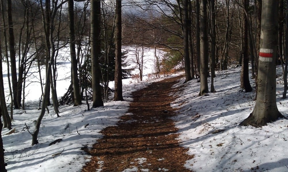
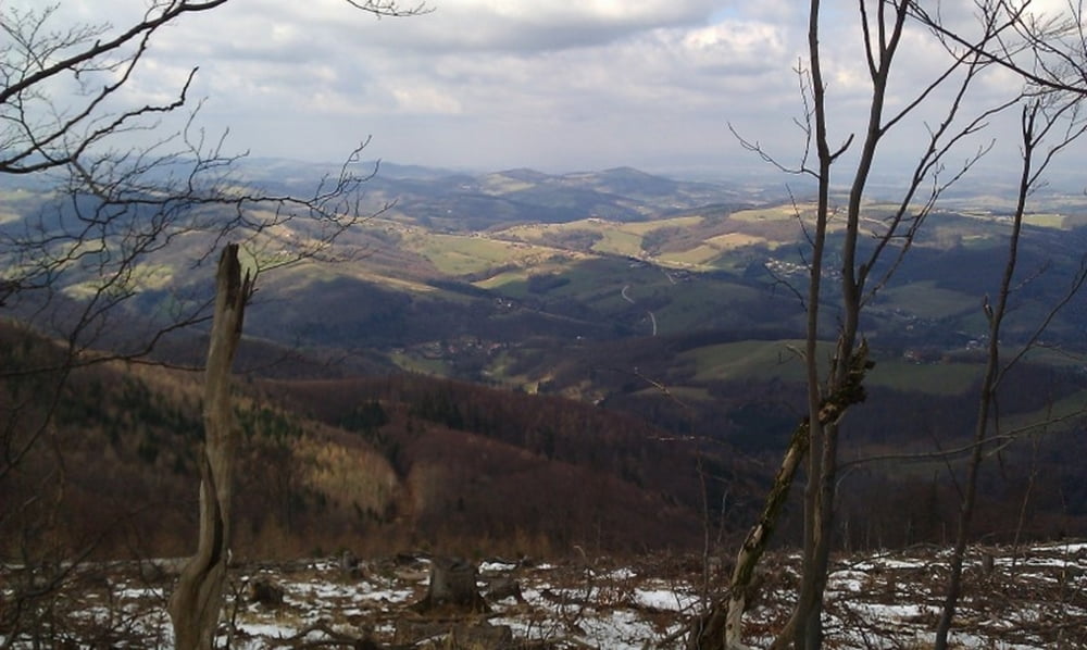
Landschaftlich sher schöne Runde - ein paar steile Anstiege, kann man aber alle fahren.
Anfahrt von Wien in etwa 35 min.
Tour gallery
Tour map and elevation profile
Minimum height 420 m
Maximum height 900 m
Comments
GPS tracks
Trackpoints-
GPX / Garmin Map Source (gpx) download
-
TCX / Garmin Training Center® (tcx) download
-
CRS / Garmin Training Center® (crs) download
-
Google Earth (kml) download
-
G7ToWin (g7t) download
-
TTQV (trk) download
-
Overlay (ovl) download
-
Fugawi (txt) download
-
Kompass (DAV) Track (tk) download
-
Track data sheet (pdf) download
-
Original file of the author (gpx) download
Add to my favorites
Remove from my favorites
Edit tags
Open track
My score
Rate


Tolle Runde am Schöpfl!
Grüße,
Markus
LG,
Keywan
Schweirigkeit / Zustand
On-top .. ich schreib jetzt noch ein mail an die Bundesforste, in Summe liegen aktuell 5 Bäume quer am Track. Gesamt Asphaltanteil geschätzte 50%. THX an keywan 4 uploading!
Völig legale Tour
Video!
https://www.youtube.com/watch?v=S3DMWjs9VoM
Video!