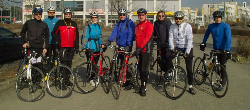
Hier könnt Ihr sehen, wie wir uns auf die zukünftigen Rennen vorbereitet haben.
Die Höhenangeben sind leider nicht richtig. Da hat das Gerät eine kleine Schwäche.
Tour map and elevation profile
Minimum height 64 m
Maximum height 561 m
Comments

GPS tracks
Trackpoints-
GPX / Garmin Map Source (gpx) download
-
TCX / Garmin Training Center® (tcx) download
-
CRS / Garmin Training Center® (crs) download
-
Google Earth (kml) download
-
G7ToWin (g7t) download
-
TTQV (trk) download
-
Overlay (ovl) download
-
Fugawi (txt) download
-
Kompass (DAV) Track (tk) download
-
Track data sheet (pdf) download
-
Original file of the author (gpx) download
Add to my favorites
Remove from my favorites
Edit tags
Open track
My score
Rate

