Kochertal Trails
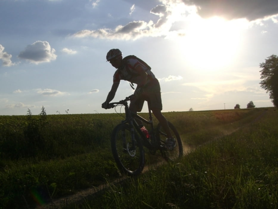
Kurze aber knackige Runde rund um Gaildorf-Unterrot. Über vier Kilometer feinste Trails mit einigen technischen Passagen. Dazu gibt es auf der Runde wunderbare Blicke über das Kochertal. Vorwiegend verläuft die Runde auf Schotterpisten und Pfaden. Eine gute Fahrtechnik ist auf dieser Runde Voraussetzung. Zum Abschluß der Tour gibt es viele nette Einkehrmöglichkeiten in und um Gaildorf. Zu empfehlen ist der Bikertreff an der Araltankstelle Dalaker in Unterrot.
Further information at
http://www.valcook.comTour gallery
Tour map and elevation profile
Minimum height 326 m
Maximum height 495 m
Comments

Start- und Zielpunkt ist der Valcook Bikeshop in Gaildorf-Unterrot. Von Schwäbisch Hall auf der B19 nach Gaildorf. Dann in Ri. Schwäbisch Gmünd. In Unterrot in Richtung Schönberg abbiegen. Nach der Araltankstelle rechts in die Daimlerstraße einbiegen. Von Aalen auf der B19 über Abstgmünd und Sulzbach-Laufen bis Bröckingen fahren. Am Ortsende links nach Unterrot abbiegen. Am Ortseingang von Unterrot, links in die Daimlerstraße abbiegen. Parkplätze sind entlang der Straße reichlich vorhanden.
GPS tracks
Trackpoints-
GPX / Garmin Map Source (gpx) download
-
TCX / Garmin Training Center® (tcx) download
-
CRS / Garmin Training Center® (crs) download
-
Google Earth (kml) download
-
G7ToWin (g7t) download
-
TTQV (trk) download
-
Overlay (ovl) download
-
Fugawi (txt) download
-
Kompass (DAV) Track (tk) download
-
Track data sheet (pdf) download
-
Original file of the author (gpx) download
Add to my favorites
Remove from my favorites
Edit tags
Open track
My score
Rate

