


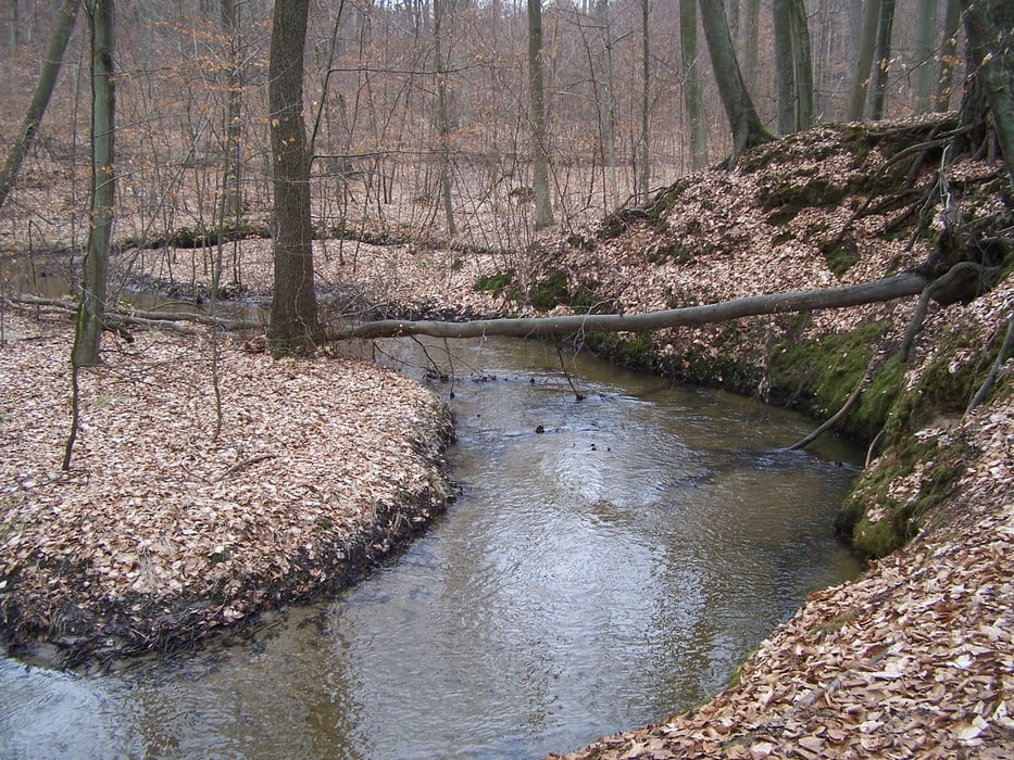
Das Nonnenfließ ist ein stark mäandrierender Bach im Wald südlich von Eberswalde. Das Wasser ist klar und sauber - der Bachlauf ist sandig. Der Wald der die für Brandenburg steilen Talabbrüche bedeckt besteht aus alten Schwarzerlen und Buchen.
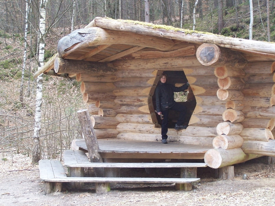
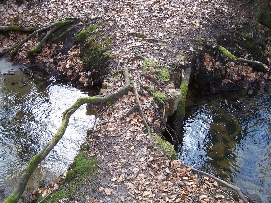
Der Weg selbst ist nicht zu verfehlen. Und falls das doch passiert ist dies nicht schlimm. Zu beiden Seiten des Baches verlaufen Wege die hin und wieder zu einem baufälligen Bogenbrücklein führen das einsturzgefärdet ist. Keine Angst in dem Bach ertrinkt man nicht so schnell.
Ich war von der Schönheit und der Ursprünglichkeit des Tales überrascht und halte diesen Teil Brandenburgs für besonders schön.
Further information at
http://de.wikipedia.org/wiki/Nonnenflie%C3%9FTour gallery
Tour map and elevation profile
Minimum height 13 m
Maximum height 57 m
More about the tour author
|
|
Pheinz |
Comments

Mit dem Auto zum Parkplatz der Gaststätte Waldhof in Spechthausen.
GPS tracks
Trackpoints-
GPX / Garmin Map Source (gpx) download
-
TCX / Garmin Training Center® (tcx) download
-
CRS / Garmin Training Center® (crs) download
-
Google Earth (kml) download
-
G7ToWin (g7t) download
-
TTQV (trk) download
-
Overlay (ovl) download
-
Fugawi (txt) download
-
Kompass (DAV) Track (tk) download
-
Track data sheet (pdf) download
-
Original file of the author (gpx) download
More about the tour author
|
|
Pheinz |
Add to my favorites
Remove from my favorites
Edit tags
Open track
My score
Rate