Login

Forgotten password?

Cookies have to be accepted!
Your browser's cookie functionality is disabled. Please enable this functionality.

Not a member yet?

Register now
Login

Available for registred users only

Log in to use this feature.

Forgotten password?

Cookies have to be accepted!
Your browser's cookie functionality is disabled. Please enable this functionality.

Not a member yet?

Register now
Filter
Categories
Advanced filters
  • Distance (km)
  • Height
Save filters Reset filter

TrackRank

QRCode

Technical data

Distance42,1 km Height603 m Way down584 m Duration02:00 h:m Date24.03.2011
Scores Author Landscape Fun factor Fitness Technique

Statistics

299 Views Scores 25 Downloads Average
Rate
  • Track data sheet
  • Directions
  • Downloads
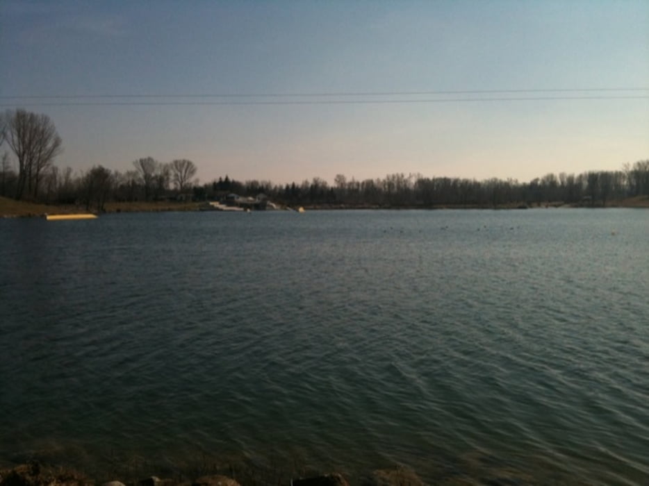
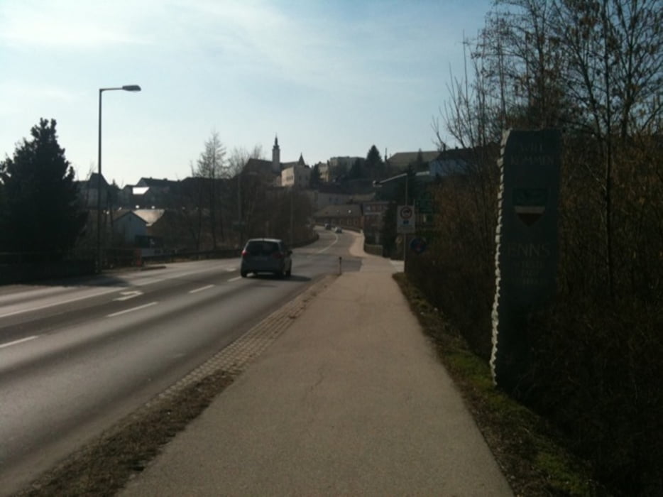
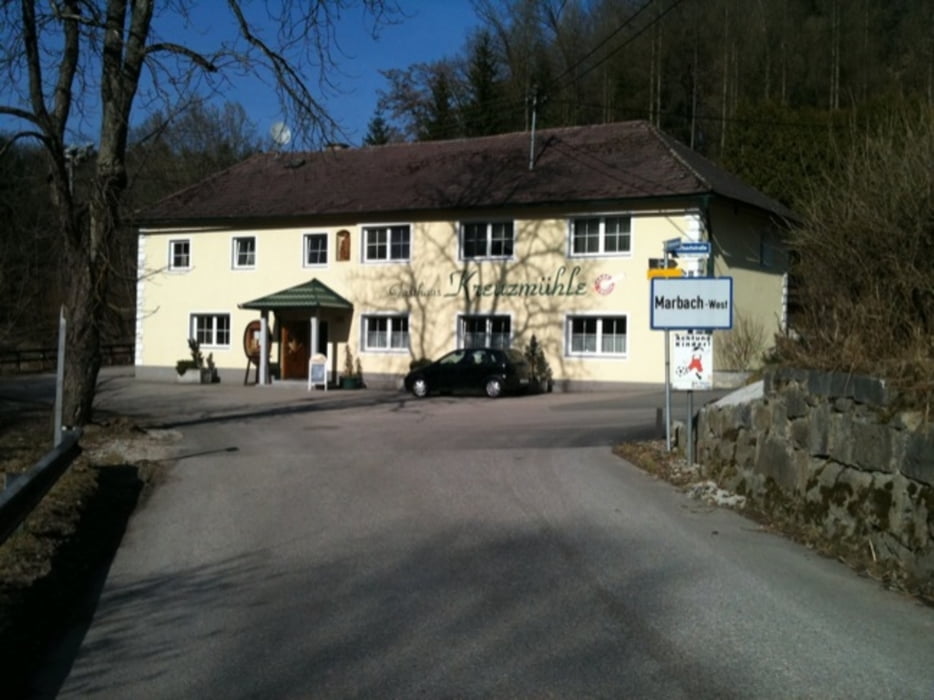
 Beginn unserer Tour ist wieder einmal Ried in der Riedmark über Lungitz und St. Georgen/Gusen geht´s in Richtung Abwinden zum Ausee => retour über Enns und den Eurovelo 6 Richtung Mauthausen. Über Marbach geht´s retour nach Ried.

Tour gallery

Tour map and elevation profile

  • Open Street Map
  • Google
Minimum height 227 m Maximum height 361 m Detailed view

More about the tour author

k3rn3lpanic
Member since 2010

Send private message

Comments

 Start wieder im Ortszentrum von Ried in der Riedmark.

GPS tracks

Trackpoints
  • GPX / Garmin Map Source (gpx) download
  • TCX / Garmin Training Center® (tcx) download
  • CRS / Garmin Training Center® (crs) download
  • Google Earth (kml) download
  • G7ToWin (g7t) download
  • TTQV (trk) download
  • Overlay (ovl) download
  • Fugawi (txt) download
  • Kompass (DAV) Track (tk) download
  • Track data sheet (pdf) download
  • Original file of the author (tcx) download

More about the tour author

k3rn3lpanic
Member since 2010

Send private message
Share track
Add to my favorites
Remove from my favorites
Edit tags
My score
Rate
Track: Ried-Ausee-Enns-Mauthausen Rundkurs
Type: Trekkingbike
Distance: 42,1 km
Evaluated on:
Duration:
Day(s)
Hour(s)
Minute(s)
Score: Landscape Fun factor Fitness Technique