Login

Forgotten password?

Cookies have to be accepted!
Your browser's cookie functionality is disabled. Please enable this functionality.

Not a member yet?

Register now
Login

Available for registred users only

Log in to use this feature.

Forgotten password?

Cookies have to be accepted!
Your browser's cookie functionality is disabled. Please enable this functionality.

Not a member yet?

Register now
Filter
Categories
Advanced filters
  • Distance (km)
  • Height
Save filters Reset filter

TrackRank

QRCode

Technical data

Distance36,6 km Height355 m Way down363 m Duration02:27 h:m Date29.03.2011
Scores Author Landscape Fun factor Fitness Technique

Statistics

632 Views Scores 40 Downloads Average
Rate
  • Track data sheet
  • Directions
  • Downloads
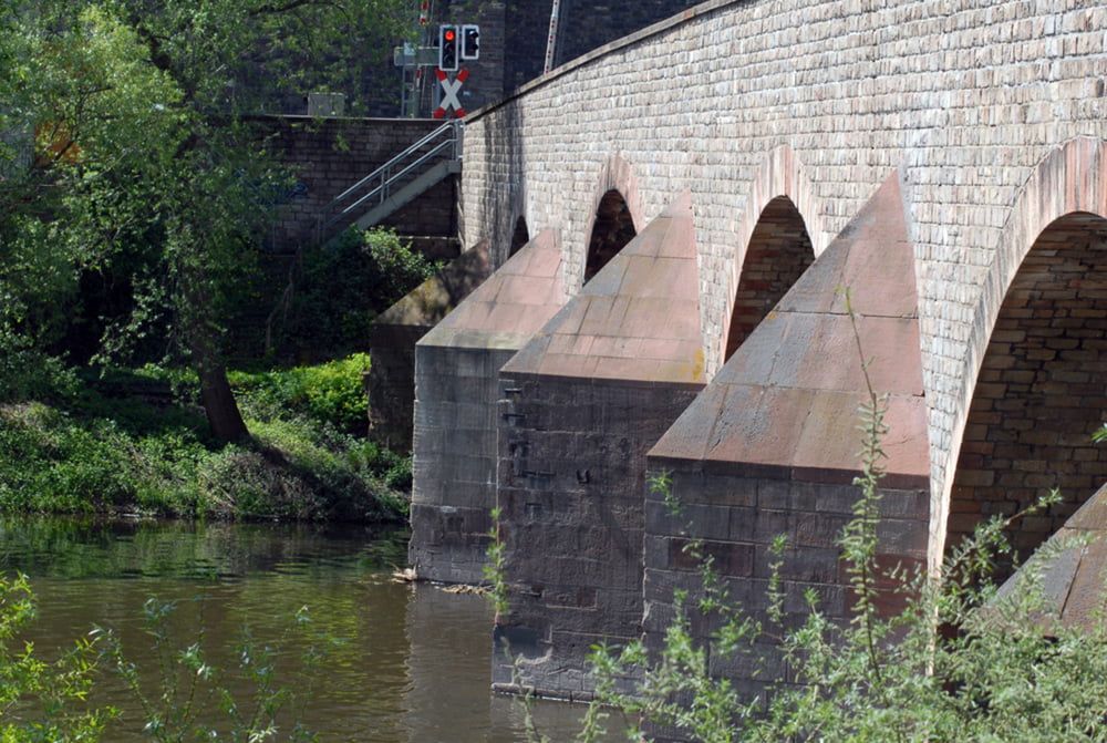
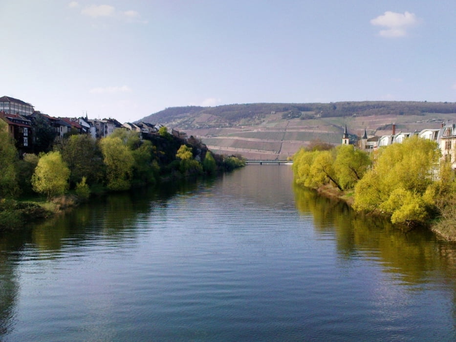
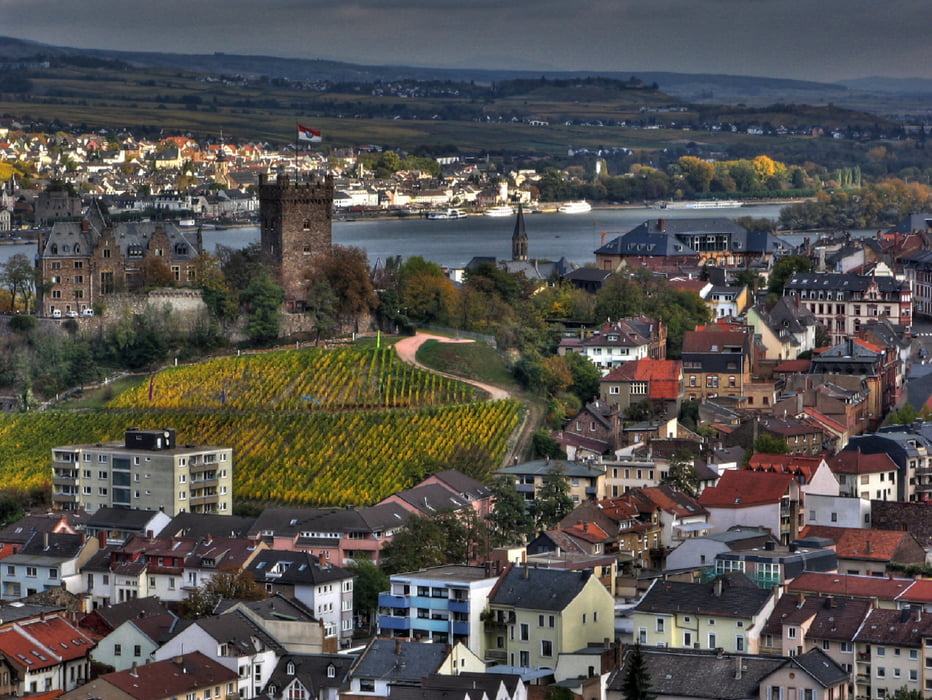
Sehr schöne Tour für Trekkingingbike. 99% der Wege sind abseits der Autoverkehrs und verlaufen über Rad- und Wanderwege. Gute Kondition ist für den Abschnitt von Bingen - Weiler - Stromberg erforderlich. Das ist die Bergstrecke. In Stromberg hat man dann den höchsten Punkt erreicht und es geht wieder abwärts.

Tour gallery

Tour map and elevation profile

  • Open Street Map
  • Google
Minimum height 75 m Maximum height 327 m Detailed view

More about the tour author

guitarplayer1959
Member since 2010

Send private message

Comments

Startpunkt war in Grolsheim.

GPS tracks

Trackpoints
  • GPX / Garmin Map Source (gpx) download
  • TCX / Garmin Training Center® (tcx) download
  • CRS / Garmin Training Center® (crs) download
  • Google Earth (kml) download
  • G7ToWin (g7t) download
  • TTQV (trk) download
  • Overlay (ovl) download
  • Fugawi (txt) download
  • Kompass (DAV) Track (tk) download
  • Track data sheet (pdf) download
  • Original file of the author (gpx) download

More about the tour author

guitarplayer1959
Member since 2010

Send private message
Share track
Add to my favorites
Remove from my favorites
Edit tags
My score
Rate
Track: Grolsheim - Bingen - Weiler - Stromberg - Schweppenhausen - Windesheim - Guldental - Langenlonsheim - Grolsheim
Type: Trekkingbike
Distance: 36,6 km
Evaluated on:
Duration:
Day(s)
Hour(s)
Minute(s)
Score: Landscape Fun factor Fitness Technique