


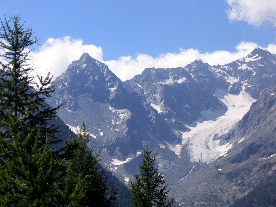
Siamo nella parte centrale della val Malenco. Si sale all'Alpe Fora e da qui si raggiunge il rifugio Longoni (m 2450), collocato su una delle più spettacolari terrazze delle Alpi che permette di spaziare su gran parte della Valmalenco: dal Disgrazia allo Scalino, fino a scorgere in lontananza la Valtellina e le cime delle Orobie.
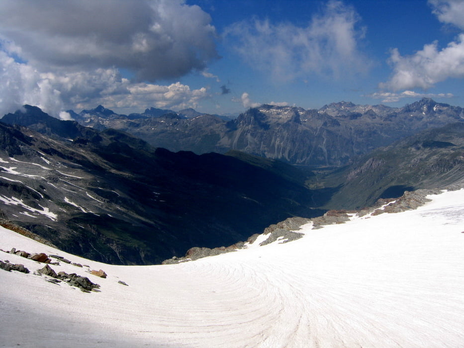
Ma prima di arrivarci ci tocca una piccola deviazione...se la forma fisica lo permette, giunti alle cascate deviamo a sinistro verso il passo Delle tre Mogge...3.049 mt!!! Da qui ci godremo lo spettaccolare ghiacciaio che si affaccia sul versante svizzero.
Tour gallery


Tour map and elevation profile
Minimum height 1772 m
Maximum height 3049 m
More about the tour author
|
|
orzowei |
Comments

GPS tracks
Trackpoints-
GPX / Garmin Map Source (gpx) download
-
TCX / Garmin Training Center® (tcx) download
-
CRS / Garmin Training Center® (crs) download
-
Google Earth (kml) download
-
G7ToWin (g7t) download
-
TTQV (trk) download
-
Overlay (ovl) download
-
Fugawi (txt) download
-
Kompass (DAV) Track (tk) download
-
Track data sheet (pdf) download
-
Original file of the author (gpx) download
More about the tour author
|
|
orzowei |
Add to my favorites
Remove from my favorites
Edit tags
Open track
My score
Rate