


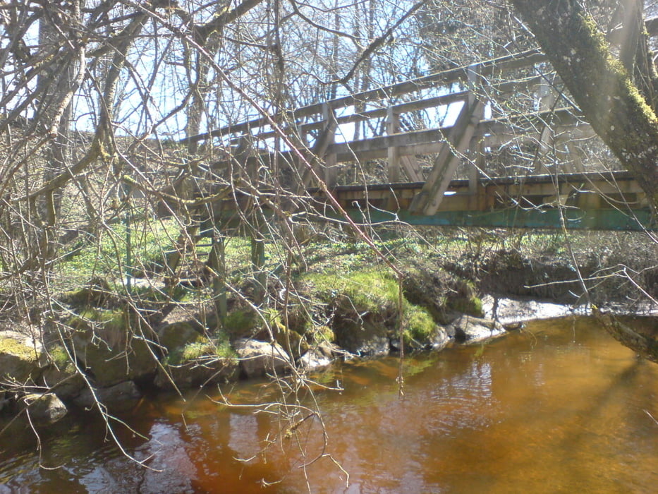
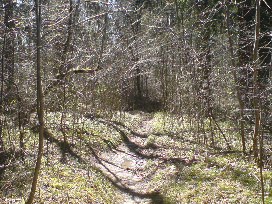
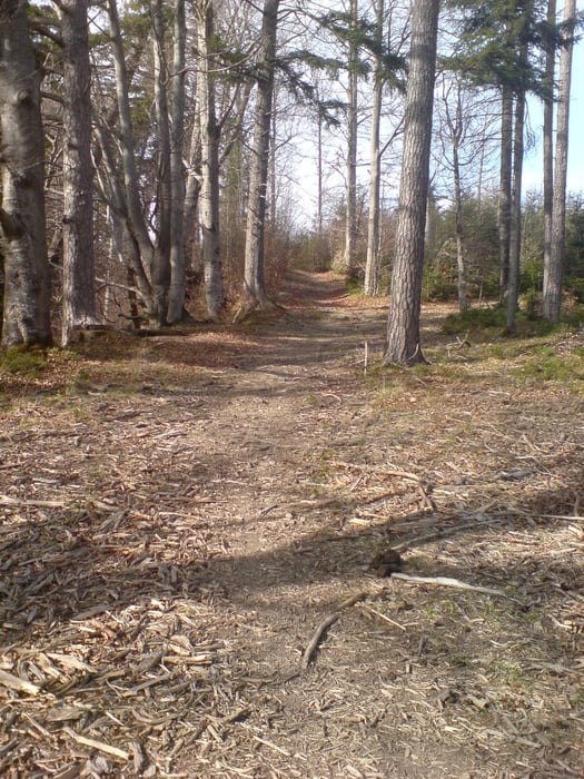
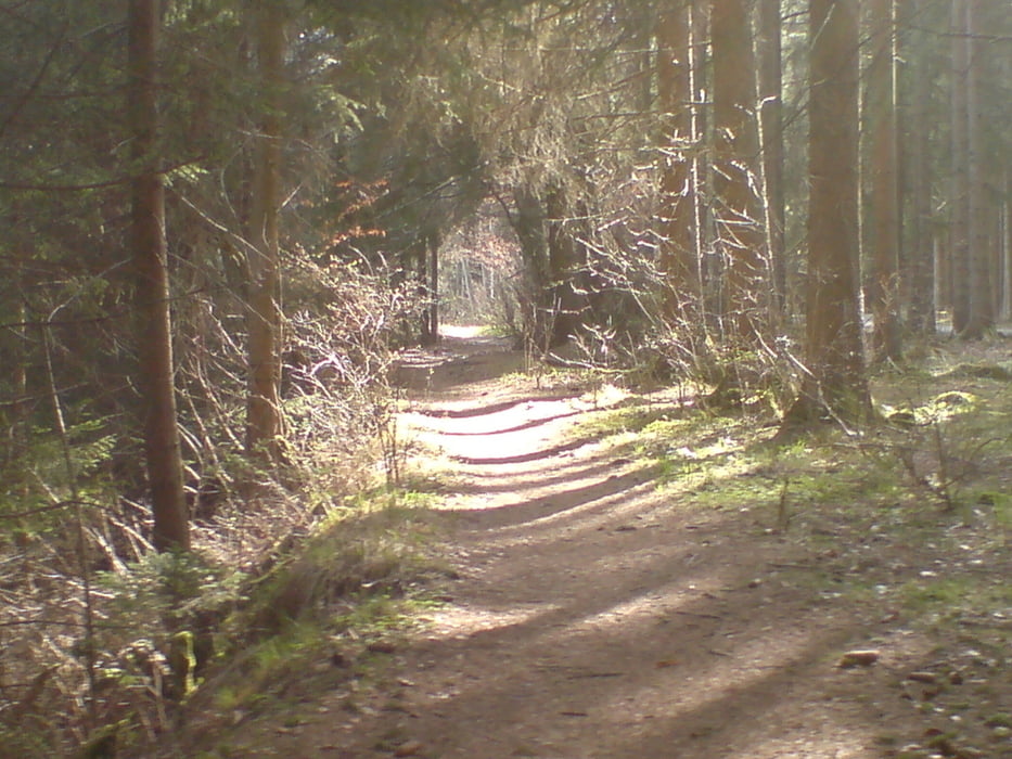
Start Netto Parkplatz in Altenstadt am Schongauer Krankenhaus vorbei durch den Wald Richtung Hohenfurch.Von da aus fährt man weiter nach Kinsau umfährt Birkland.Jetzt geht es weiter auf Wald und Forstwegen bis nach Paterzell von dort aus fährt man auf Asphaltierten Nebenstrassen bis nach Oderding. Man fährt nun der Ammer entlang, wo einige kleine Brücken die super Trails unterbrechen, bis Peiting das am Ende der Auffahrt ereicht ist. Nun geht es weiter Richtung Schongau, wo noch ein Paar Trails auf uns warten, jetzt geht es wieder nach Altenstadt zurück. Die Runde kann in beide Richtungen gefahren werden, der Einstieg in die Tour kann überall erfollgen.
Tour gallery
Tour map and elevation profile
Minimum height 580 m
Maximum height 775 m
More about the tour author
|
|
Superwurst |
Comments

GPS tracks
Trackpoints-
GPX / Garmin Map Source (gpx) download
-
TCX / Garmin Training Center® (tcx) download
-
CRS / Garmin Training Center® (crs) download
-
Google Earth (kml) download
-
G7ToWin (g7t) download
-
TTQV (trk) download
-
Overlay (ovl) download
-
Fugawi (txt) download
-
Kompass (DAV) Track (tk) download
-
Track data sheet (pdf) download
-
Original file of the author (tcx) download
More about the tour author
|
|
Superwurst |
Add to my favorites
Remove from my favorites
Edit tags
Open track
My score
Rate