
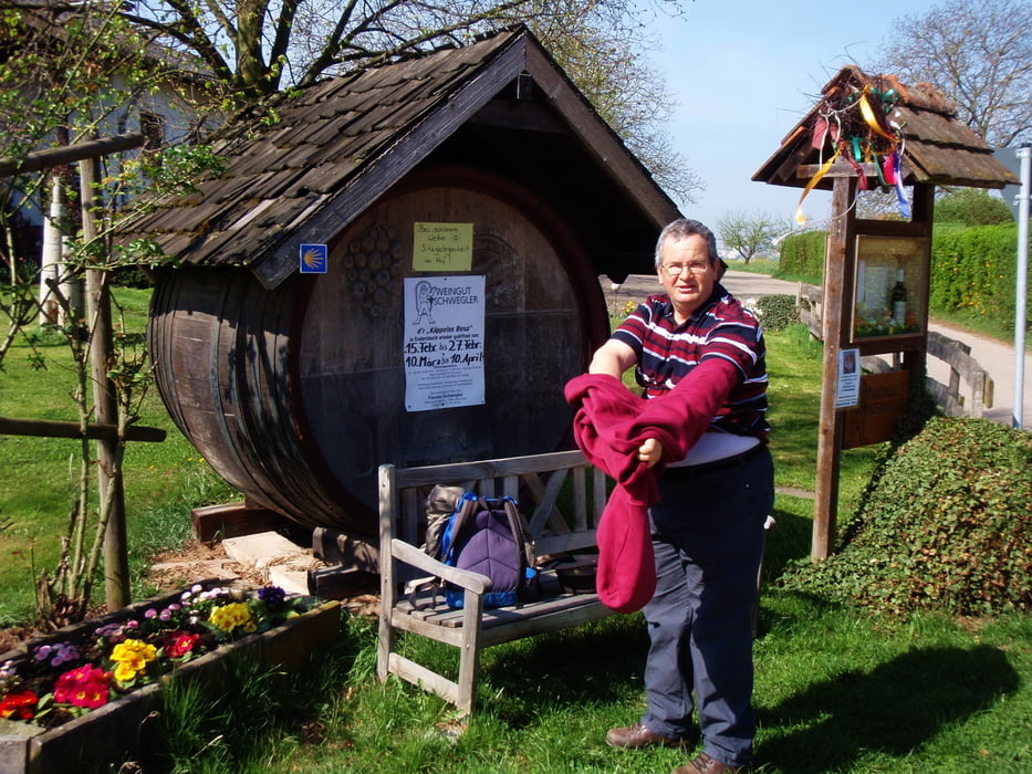

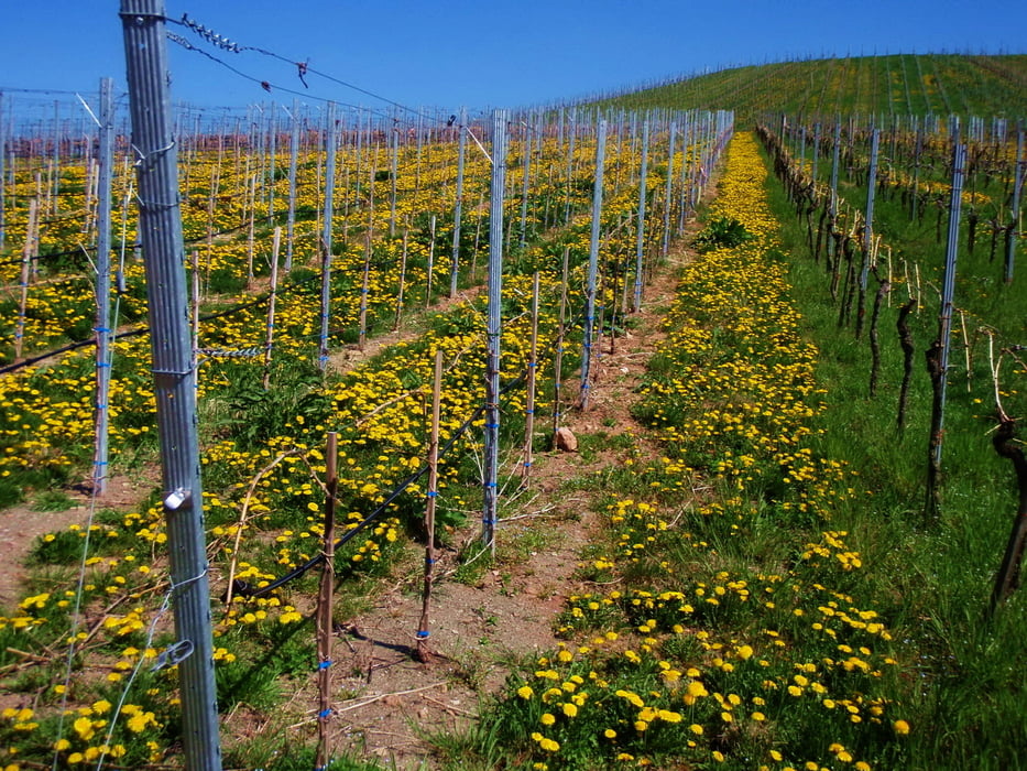
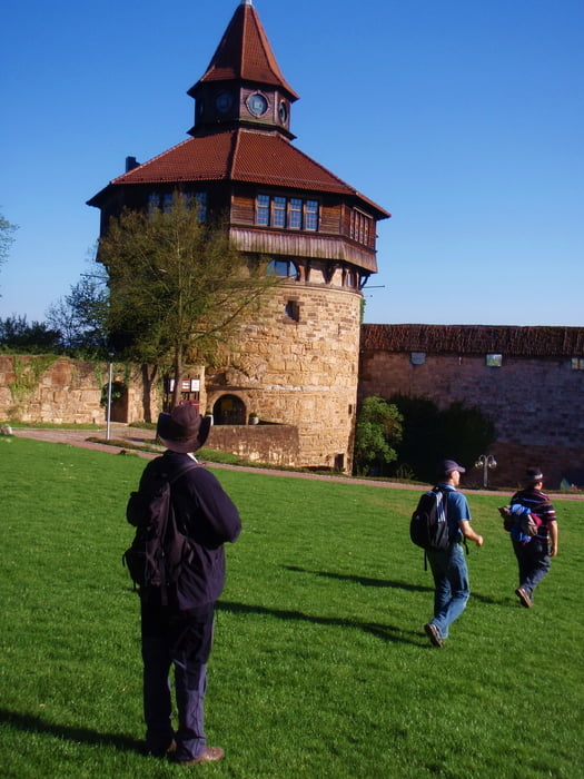
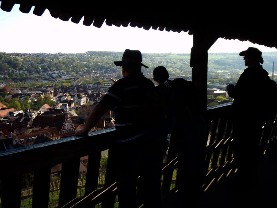
Dies Tour startet am Bahnhof von Endersbach und endet in Stuttgart Degerloch, jedoch kann sie genausogut anderstherum gelaufen werden. Es geht über Weinberge, durch malerische Ortschaften, durch Wälder und immer wieder mit grandiosen Ausblicken wie z.b von der Burg über Esslingen, immer wieder finden sich auch tolle Gartenwirtschaften. Alles in allem bei schönem Wetter kaum zu Topen, jedoch sehr lang und doch ganz schön anstrengend.
Tour gallery
Tour map and elevation profile
Minimum height 231 m
Maximum height 501 m
More about the tour author
|
|
Hassor |
Comments

Wir sind mit der U-Bahn,bzw S-Bahn von Degerloch nach Endersbach.
GPS tracks
Trackpoints-
GPX / Garmin Map Source (gpx) download
-
TCX / Garmin Training Center® (tcx) download
-
CRS / Garmin Training Center® (crs) download
-
Google Earth (kml) download
-
G7ToWin (g7t) download
-
TTQV (trk) download
-
Overlay (ovl) download
-
Fugawi (txt) download
-
Kompass (DAV) Track (tk) download
-
Track data sheet (pdf) download
-
Original file of the author (gpx) download
More about the tour author
|
|
Hassor |
Add to my favorites
Remove from my favorites
Edit tags
Open track
My score
Rate