


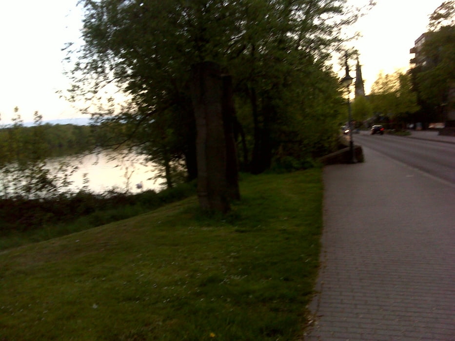
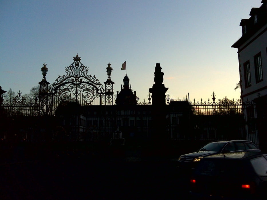
Es wird in Hanau in der Nussallee am Gericht geparkt. Die Tour beginnt direkt vor dem Gericht und führt in Richtung Kesselstadt, Philippsruher Allee. Die Alleenstraße ist schön am Main entlang zu laufen, immer mit Blick auf das Schloß. Ich komme vorbei am bekannten "Adler", dem "Schwanen" und am "Rothen Löwen" - alles gute Lokalitäten zum einkehren. Ich biege in die beschauliche Kastanienallee ein und laufe bis etwa in Höhe der Otto-Hahn-Schule um dann wieder rechts Richtung Bahnübergang - Hanauer Vorstadt zu laufen. Dort komme ich über die Kinzigbrücke wieder zu meinem Ausgangspunkt am Gericht. Netter kleiner Spaziergang.
Fazit: Die Tour ist als kleine Abendrunde bestens geeignet - auch im Dunkeln. Die Beleuchtung, sei es von den Fahrzeugen oder der Strassenbeleuchtung, ist ausreichend für eine Orientierung. Einkehrmöglichkeiten für ein Bier oder eine Mahlzeit sind ebenfalls gegeben.
Further information at
http://www.hanau.deTour gallery

Tour map and elevation profile
Minimum height 66 m
Maximum height 114 m
More about the tour author
|
|
glamoramabyellis |
Comments

Einfach nach Hanau fahren - egal aus welcher Richtung und Gericht - Nussallee im Navi eingeben......
GPS tracks
Trackpoints-
GPX / Garmin Map Source (gpx) download
-
TCX / Garmin Training Center® (tcx) download
-
CRS / Garmin Training Center® (crs) download
-
Google Earth (kml) download
-
G7ToWin (g7t) download
-
TTQV (trk) download
-
Overlay (ovl) download
-
Fugawi (txt) download
-
Kompass (DAV) Track (tk) download
-
Track data sheet (pdf) download
-
Original file of the author (gpx) download
More about the tour author
|
|
glamoramabyellis |
Add to my favorites
Remove from my favorites
Edit tags
Open track
My score
Rate