Login

Forgotten password?

Cookies have to be accepted!
Your browser's cookie functionality is disabled. Please enable this functionality.

Not a member yet?

Register now
Login

Available for registred users only

Log in to use this feature.

Forgotten password?

Cookies have to be accepted!
Your browser's cookie functionality is disabled. Please enable this functionality.

Not a member yet?

Register now
Filter
Categories
Advanced filters
  • Distance (km)
  • Height
Save filters Reset filter

TrackRank

QRCode

Technical data

Distance123,6 km Height1964 m Way down2010 m Duration02:23 h:m Date17.04.2011
Scores Author Landscape Fun factor Fitness Technique

Statistics

4507 Views Scores 166 Downloads Average
Rate
  • Track data sheet
  • Directions
  • Downloads


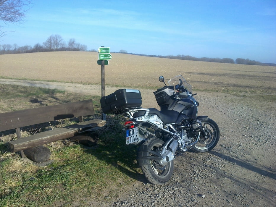
Eine schöne Runde durch die Sächs. Schweiz,
teilweise unbefestigte Straße in der Nähe von
Schloß Kuckuckstein bei Liebstadt, Super auch das Seidewitztal!


Tour gallery

Tour map and elevation profile

  • Open Street Map
  • Google
Minimum height 118 m Maximum height 623 m Detailed view

More about the tour author

GS_Rider
Member since 2010

Send private message

Comments

GPS tracks

Trackpoints
  • GPX / Garmin Map Source (gpx) download
  • TCX / Garmin Training Center® (tcx) download
  • CRS / Garmin Training Center® (crs) download
  • Google Earth (kml) download
  • G7ToWin (g7t) download
  • TTQV (trk) download
  • Overlay (ovl) download
  • Fugawi (txt) download
  • Kompass (DAV) Track (tk) download
  • Track data sheet (pdf) download
  • Original file of the author (gpx) download

More about the tour author

GS_Rider
Member since 2010

Send private message
Share track
Add to my favorites
Remove from my favorites
Edit tags
My score
Rate
Track: Sächsische Schweiz 1
Type: Motorcycles
Distance: 123,6 km
Evaluated on:
Duration:
Day(s)
Hour(s)
Minute(s)
Score: Landscape Fun factor Fitness Technique