Login

Forgotten password?

Cookies have to be accepted!
Your browser's cookie functionality is disabled. Please enable this functionality.

Not a member yet?

Register now
Login

Available for registred users only

Log in to use this feature.

Forgotten password?

Cookies have to be accepted!
Your browser's cookie functionality is disabled. Please enable this functionality.

Not a member yet?

Register now
Filter
Categories
Advanced filters
  • Distance (km)
  • Height
Save filters Reset filter

TrackRank

QRCode

Technical data

Distance13,2 km Height547 m Way down515 m Duration00:00 h:m Date19.04.2011
Scores Author User Landscape Fun factor Fitness Technique

Statistics

516 Views 2 Scores 121 Downloads 4.50 Average
Rate
  • Track data sheet
  • Directions
  • Downloads


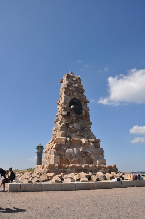
Wunderschöne, abwechslungsreiche Tour vom Parkplatz der Talstation Feldbergbahn  (Haus der Natur) über Bismarckdenkmal, Feldberggipfel und diverse Hütten zum Feldsee. Nach einer Weißbier-Stärkung im Raimatihof wieder zurück zum Parkplatz.

Wir sind immer dem Wegweiser Feldberg Steig gefolgt.


Tour map and elevation profile

  • Open Street Map
  • Google
Minimum height 1101 m Maximum height 1494 m Detailed view

More about the tour author

Mo
Member since 2009

Send private message

Comments

GPS tracks

Trackpoints
  • GPX / Garmin Map Source (gpx) download
  • TCX / Garmin Training Center® (tcx) download
  • CRS / Garmin Training Center® (crs) download
  • Google Earth (kml) download
  • G7ToWin (g7t) download
  • TTQV (trk) download
  • Overlay (ovl) download
  • Fugawi (txt) download
  • Kompass (DAV) Track (tk) download
  • Track data sheet (pdf) download
  • Original file of the author (gpx) download

More about the tour author

Mo
Member since 2009

Send private message
Share track
Add to my favorites
Remove from my favorites
Edit tags
My score
Rate
Track: Über und um den Feldberg
Type: Hiking
Distance: 13,2 km
Evaluated on:
Duration:
Day(s)
Hour(s)
Minute(s)
Score: Landscape Fun factor Fitness Technique